Courtesy of Medicine Hat and District Genealogical Society (MHDGS)

Deaths

Longevity

Address

Range Rd 130, Township Rd 92
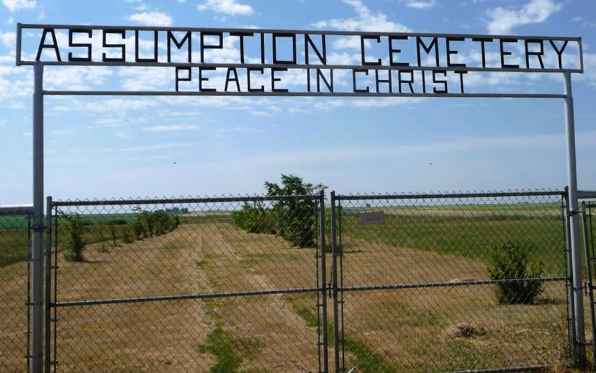
Nearest Populated Centre: Grassy Lake,
Province: Alberta

Map Location

Latitude, Longitude
49.72690, -111.61919

Map Location

Search for:
RESET
Surname Given Name Born Died Age Photos Cemetery R Code

The 25 most common surnames found in this cemetery.

loader

The 25 most common given names found in this cemetery.

loader

Other Cemeteries

Box Springs Cemetery (Cypress County)

Twp Rd 142 & Range Rd 62 , Redcliff , Alberta

Indian Battle Park Cemetery (City of Lethbridge)

200 Indian Battle Road South (Riverbottom) , Lethbridge , Alberta

Jennings (Northern) Cemetery (Special Area No. 2)

Range Road 113 N of Township Road 250 , Cessford , Alberta

Westcott Cemetery (Mountain View County)

Westcott Rd & Range Rd 32 , Westcott , Alberta

Okotoks Cemetery (Foothills County)

30 Westland Street , Okotoks , Alberta

St. Paul's Lutheran Cemetery (Special Area No. 2)

Range Road 162 and Township Road 302 , Hanna , Alberta

Ferrybank Cemetery (Ponoka County)

Highway 795 and Range Road 251 , Ponoka , Alberta

Baptist Freedom Settlers Cemetery (Cypress County)

SH 515 & Range Rd 31 , Josephburg , Alberta

Jewish Memorial Chapel Cemetery (Calgary)

101 17818 37 St SW , Calgary , Alberta

Beiseker Level Land Seventh-day Adventist Cemetery (Rocky View County)

Range Rd 242, south of Highway #9 , Beiseker , Alberta

Discover Alberta Ancestors