
Cemetery Road
Barnwell emerged in the late nineteenth and early twentieth centuries as part of a broader wave of settlement across Southern Alberta. Originally known as Woodpecker, the area served as a modest railway siding where a boxcar functioned as a telegraph office for settlers and the railroad. By 1908, the community had been renamed Bountiful, and shortly thereafter it became Barnwell, named after a Canadian Pacific Railway employee.
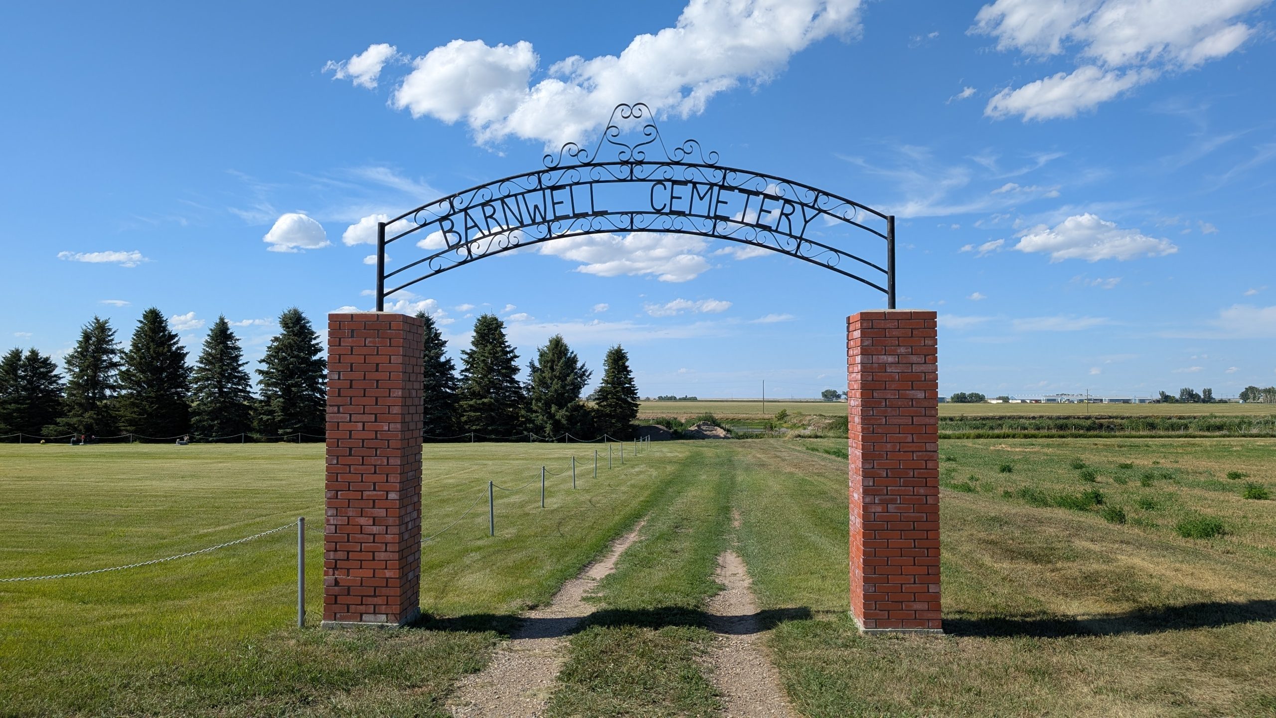
The establishment of Barnwell Cemetery dates to the early 1900s, coinciding with the arrival of settlers, many of whom were members of The Church of Jesus Christ of Latter-day Saints. These settlers played a central role in founding communities throughout southern Alberta, creating close-knit, family-oriented farming settlements
The cemetery contains graves dating back to the early twentieth century, including individuals born in the late 1800s. These burial records highlight the multigenerational nature of the community and provide insight into the families who shaped the region
The history of Barnwell Cemetery is inseparable from the history of Barnwell itself. From its origins as an early railway settlement to its role in a thriving agricultural village, the cemetery stands as a testament to the people who built and sustained the community. Through its headstones and records, it preserves the legacy of generations who lived, worked, and were laid to rest in this part of southern Alberta, reflecting the story of early settlement, religious community life, and the challenges faced by pioneers in southern Alberta.
Address
Cemetery Road
Nearest Populated Centre: Barnwell,
Province: Alberta
Map Location
Latitude, Longitude
49.76914, -112.27238
Map Location
| Surname | Given Name | Born | Died | Age | Photos | Cemetery | R Code |
|---|---|---|---|---|---|---|---|
The 25 most common surnames found in this cemetery.

The 25 most common given names found in this cemetery.