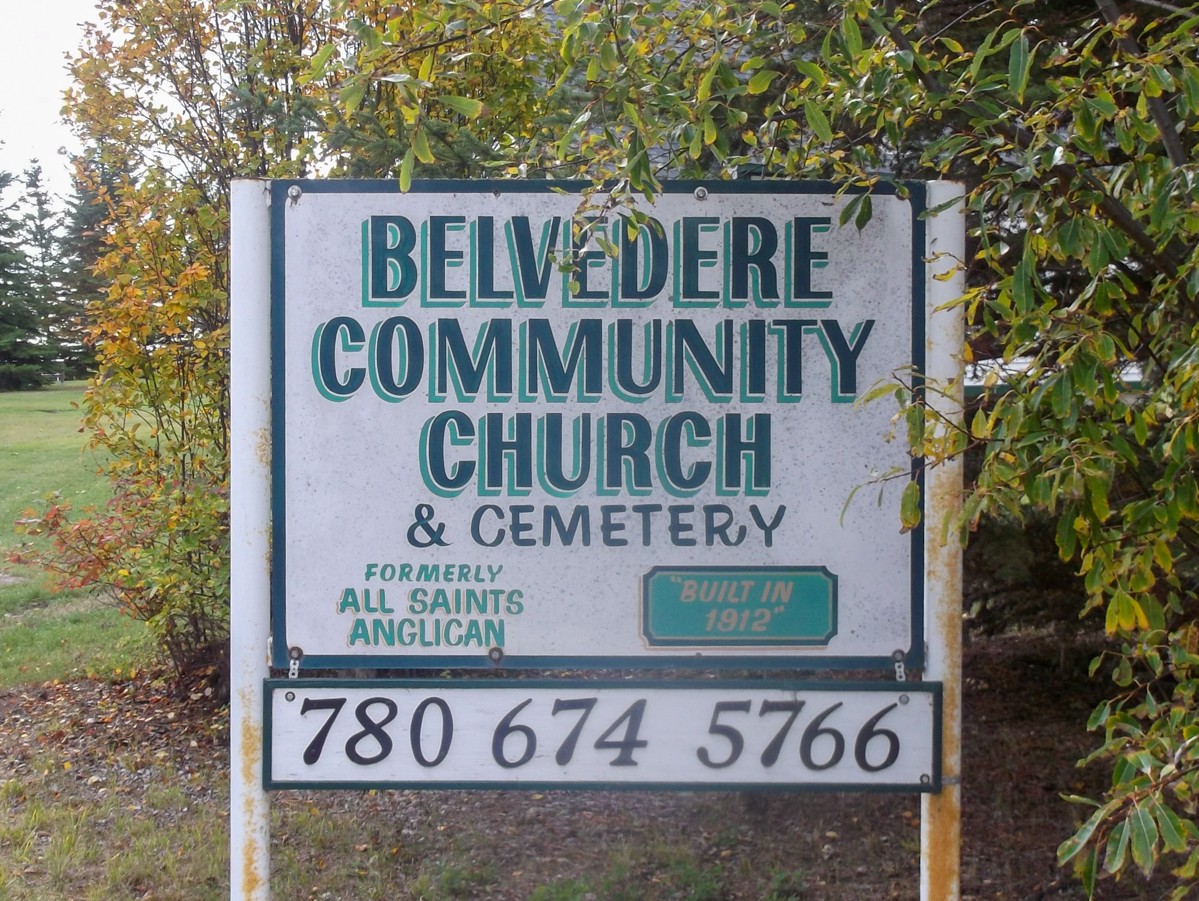
Deaths

Longevity

Address

3417 Hwy 654
Nearest Populated Centre: Barrhead,
Province: Alberta

Map Location

Latitude, Longitude
54.00641, -114.41218

Map Location

Search for:
RESET
Surname Given Name Born Died Age Photos Cemetery R Code

The 25 most common surnames found in this cemetery.

loader

The 25 most common given names found in this cemetery.

loader

Other Cemeteries

Zion Baptist Cemetery (Hesketh, Kneehill County)

Range Road 222A south of Highway 9 , Hesketh , Alberta

Baptist Freedom Settlers Cemetery (Cypress County)

SH 515 & Range Rd 31 , Josephburg , Alberta

Namaka Mennonite Cemetery (Wheatland County)

Namaka, Strathmore Census Division , Carseland , Alberta

St. Mary's Cemetery (Bluffton, Ponoka County)

Range Road 30 S of Highway 607 , Bluffton , Alberta

Fertile Plains Cemetery (Forty Mile County)

Highway 885, Township Road 85, Range Road 102 , Maleb, Bow Island area , Alberta

Kimball Cemetery (Cardston County)

Township Road 21 / Range Road 250(B) N of Kimball , Kimball , Alberta

Whitla Cemetery (Forty Mile County)

Range Road 84 north of Highway 3 , Whitla , Alberta

St. Mary's Pioneer Cemetery (Calgary)

3157 Erlton St SW , Calgary , Alberta

Cremona Community Cemetery (Mountain View County)

Township Rd 295B & Highway 580 , Cremona , Alberta

Discover Alberta Ancestors