Courtesy of Medicine Hat and District Genealogical Society (MHDGS)

Deaths

Longevity

Address

Twp Rd 44 & Range Rd 110
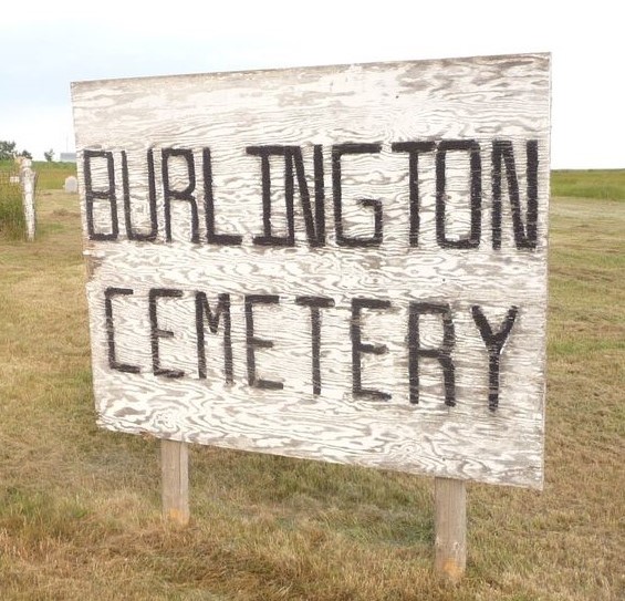
Nearest Populated Centre: Foremost,
Province: Alberta

Map Location

Latitude, Longitude
49.31151, -111.35152

Map Location

Search for:
RESET
Surname Given Name Born Died Age Photos Cemetery R Code

The 25 most common surnames found in this cemetery.

loader

The 25 most common given names found in this cemetery.

loader

Other Cemeteries

St. Mary's Cemetery (Bluffton, Ponoka County)

Range Road 30 S of Highway 607 , Bluffton , Alberta

Taylor Cemetery (Vulcan County)

Hwy 539 between Rge Rd 181 & Range Rd 183 , Lomond , Alberta

Maybutt Cemetery (Warner County)

Front St & First Ave , Maybutt , Alberta

St. Barnabas Anglican Memorial Garden (Calgary)

1407 - 7 Ave NW , Calgary , Alberta

Cravath Corners Cemetery (Wardlow, Special Area No. 2)

Range Road 513 S of Cessford , Wardlow , Alberta

Spring Coulee Cemetery (Cardston County)

Range Road 234 N of Spring Coulee , Spring Coulee , Alberta

Burnbrae Cemetery (Ponoka County)

Township Road 444 east of Highway 771 , Homeglen , Alberta

Eagle Hill Cemetery (Mountain View County)

33379 Range Rd 35 , Olds , Alberta

Livingstone Cemetery (MD of Pincher Creek)

Range Rd 15, North of Cowley , Cowley , Alberta

Discover Alberta Ancestors