Courtesy of Medicine Hat and District Genealogical Society (MHDGS)

Deaths

Longevity

Address

Range Rd 62 north of Twp Road 22
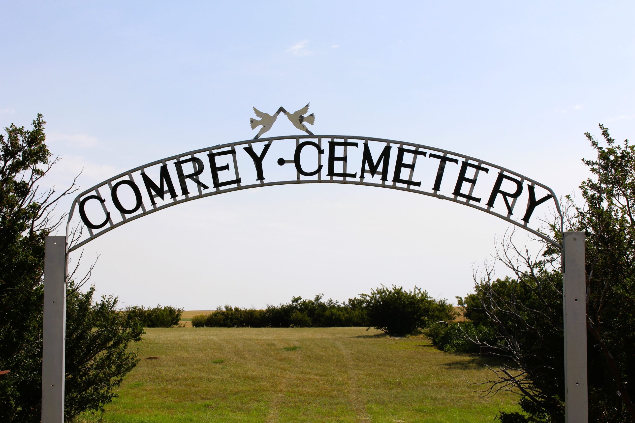
Nearest Populated Centre: Manyberries,
Province: Alberta

Map Location

Latitude, Longitude
49.12040, -110.71797

Map Location

Search for:
RESET
Surname Given Name Born Died Age Photo(s) Cemetery Obituary Narrative R Code

The 25 most common surnames found in this cemetery.

loader

The 25 most common given names found in this cemetery.

loader

Other Cemeteries

Fertile Plains Cemetery (Forty Mile County)

Highway 885, Township Road 85, Range Road 102 , Maleb, Bow Island area , Alberta

Hill Spring Cemetery (Cardston County)

Township Rd 43A , Hill Spring , Alberta

Freudental Carbon Cemetery (Kneehill County)

234002 Twp Rd 284 , Carbon , Alberta

Sunnyside Cemetery (Forty Mile County)

105040 Twp Rd 12 (Range Rd 150 & Twp Rd 12) , Aden , Alberta

Homeland Cemetery (Kneehill County)

292044 Rge Rd 211A , Dunphy , Alberta

O Perfect Peace Cemetery (Vulcan County)

Range Road 212 between Township Roads 190 and 192 , Milo , Alberta

Westcott Cemetery (Mountain View County)

Westcott Rd & Range Rd 32 , Westcott , Alberta

Hilda Congregational Cemetery (Cypress County)

Twp Rd 180 & Rge Rd 21 , Hilda , Alberta

Eventide Cemetery (Wheatland County)

Hwy 547 , Gleichen , Alberta

Discover Alberta Ancestors