Courtesy of Medicine Hat and District Genealogical Society (MHDGS)

Deaths

Longevity

Address

Range Rd 62 north of Twp Road 22
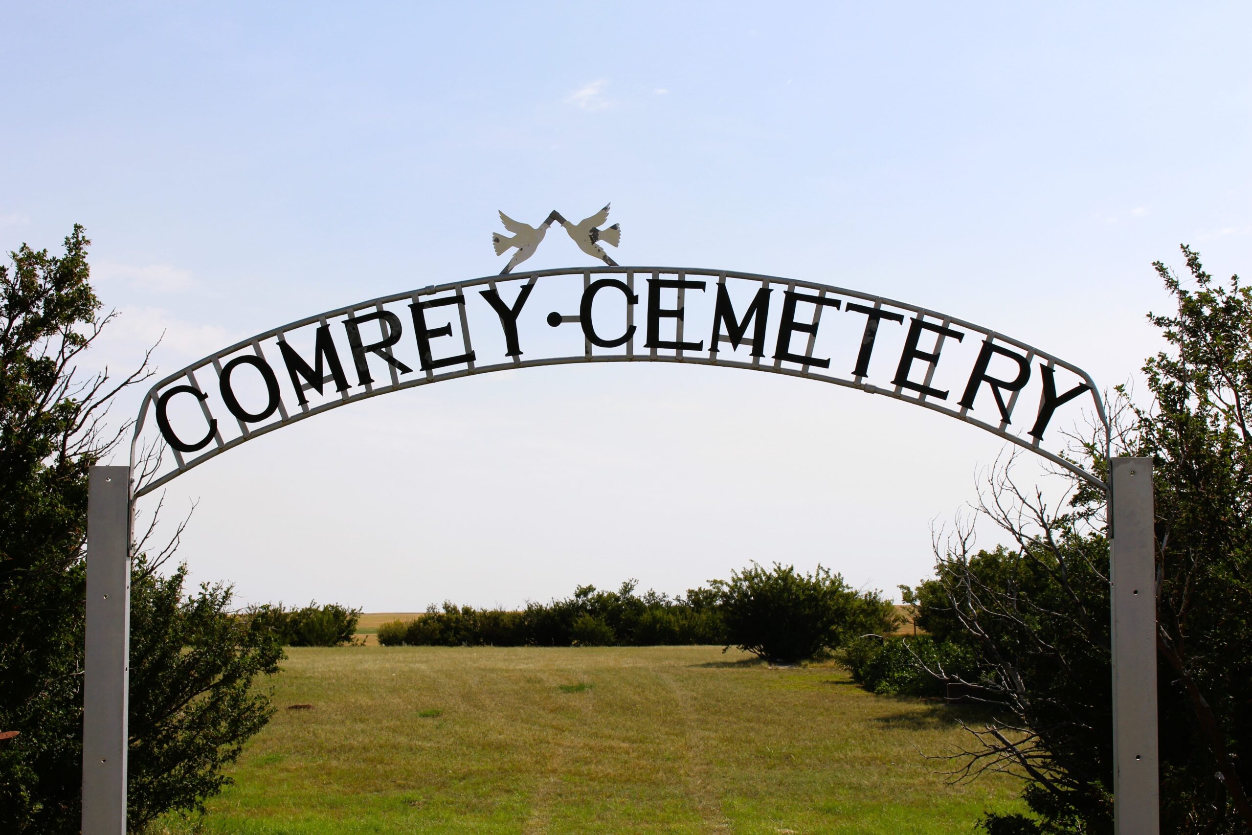
Nearest Populated Centre: Manyberries,
Province: Alberta

Map Location

Latitude, Longitude
49.12040, -110.71797

Map Location

Search for:
RESET
Surname Given Name Born Died Age Photos Cemetery R Code

The 25 most common surnames found in this cemetery.

loader

The 25 most common given names found in this cemetery.

loader

Other Cemeteries

Jewish Memorial Chapel Cemetery (Calgary)

101 17818 37 St SW , Calgary , Alberta

Stirling Mennonite Cemetery (Warner County)

Range Road 195 S of Highway 52 , Stirling , Alberta

Linden Cemetery (Kneehill County)

303081 Range Road 253 , Linden , Alberta

Big Prairie Cemetery (Mountain View County)

30314 Rg Rd 50 , Cremona , Alberta

Hand Hills Baptist Cemetery (Special Area No. 2)

Range Road 163 and Township Road 302 , Hanna , Alberta

Mountain View Cemetery (Banff National Park)

1029 Banff Avenue , Banff , Alberta

St. Mary's Cemetery (Beiseker, Rocky View County)

Township Rd 282 & Range Rd 261 , Beiseker , Alberta

Sutherland Cemetery (Newell County)

Range Road 141 and Township Road 191 , Brooks , Alberta

Evangelical Lutheran Church of Zion (Forty Mile County)

Township Road 62 and Range Road 55, east of Highway 889 , Manyberries , Alberta

Old Monarch Cemetery (Lethbridge County)

Range Rd 235 South of Hwy 3A , Monarch , Alberta

Discover Alberta Ancestors