Courtesy of Medicine Hat and District Genealogical Society (MHDGS)

Deaths

Longevity

Address

Range Rd 62 north of Twp Road 22
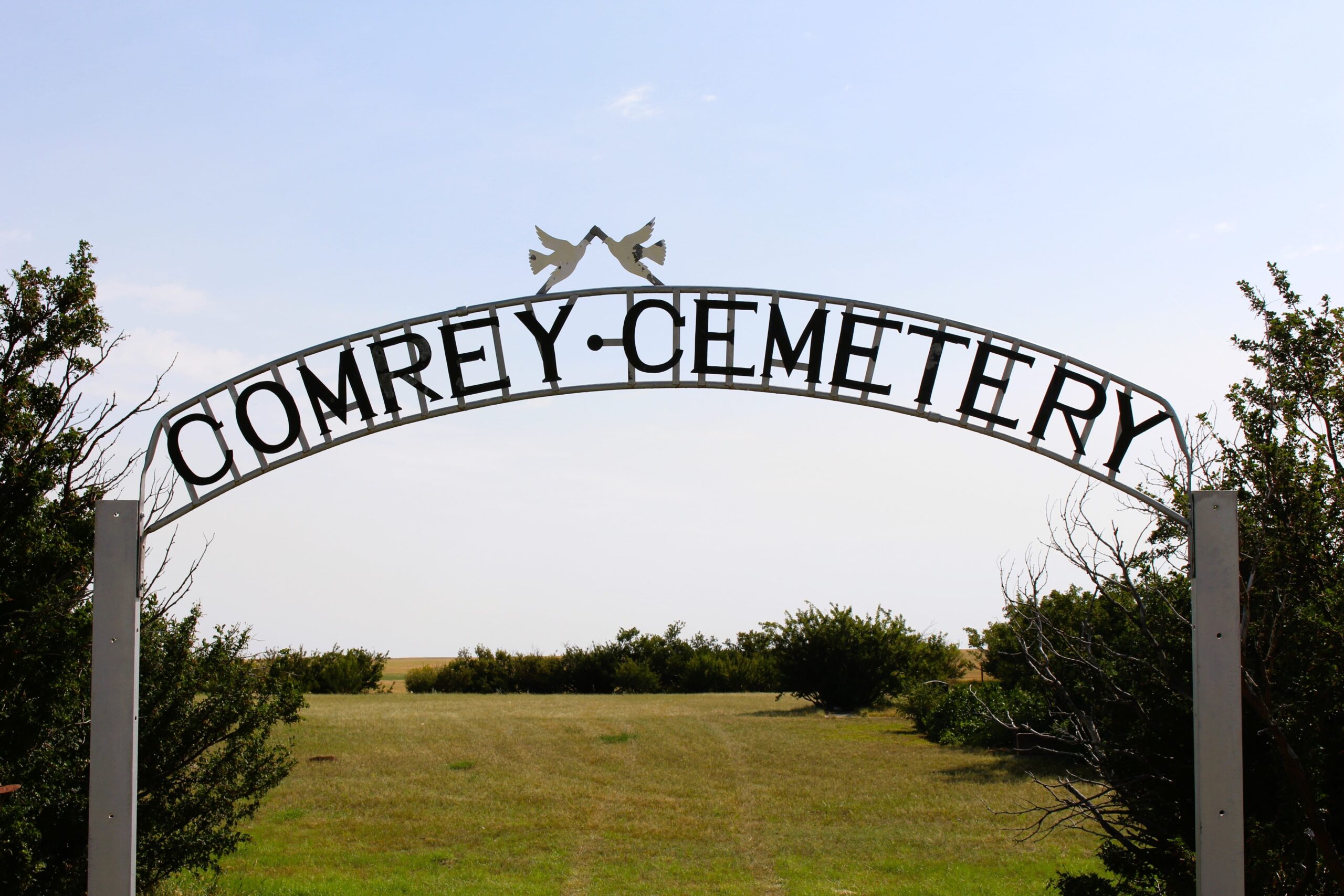
Nearest Populated Centre: Manyberries,
Province: Alberta

Map Location

Latitude, Longitude
49.12040, -110.71797

Map Location

Search for:
RESET
Surname Given Name Born Died Age Photos Cemetery R Code

The 25 most common surnames found in this cemetery.

loader

The 25 most common given names found in this cemetery.

loader

Other Cemeteries

Reist Mennonite Cemetery (Special Area No. 2)

Rge Rd 100a, Special Area No. 2 , N of Youngstown , Alberta

Arthurvale Cemetery (Red Deer County)

Range Road 250 & Township Road 350 , Elnora , Alberta

Willow Wilde Cemetery (Barrhead County)

Township Road 582, east of Range Road 23 , Busby , Alberta

St. Mary's Cemetery (Beiseker, Rocky View County)

Township Rd 282 & Range Rd 261 , Beiseker , Alberta

Nemiscam Cemetery (Forty Mile County)

Highway 501 (Red Coat Trail) and Range Road 103 , Nemiskam , Alberta

Sunnyside Cemetery (Forty Mile County)

105040 Twp Rd 12 (Range Rd 150 & Twp Rd 12) , Aden , Alberta

Okotoks Cemetery (Foothills County)

30 Westland Street , Okotoks , Alberta

Irricana Town Cemetery (Rocky View County)

Cemetery Rd & Hendricks Dr , Irricana , Alberta

Eckville Cemetery (Lacombe County)

Highway 766 and Range Road 32A , Eckville , Alberta

Bellevue Union Cemetery (Crowsnest Pass)

Larch Ave , Bellevue , Alberta

Discover Alberta Ancestors