Deaths

Longevity

Address

18 Street
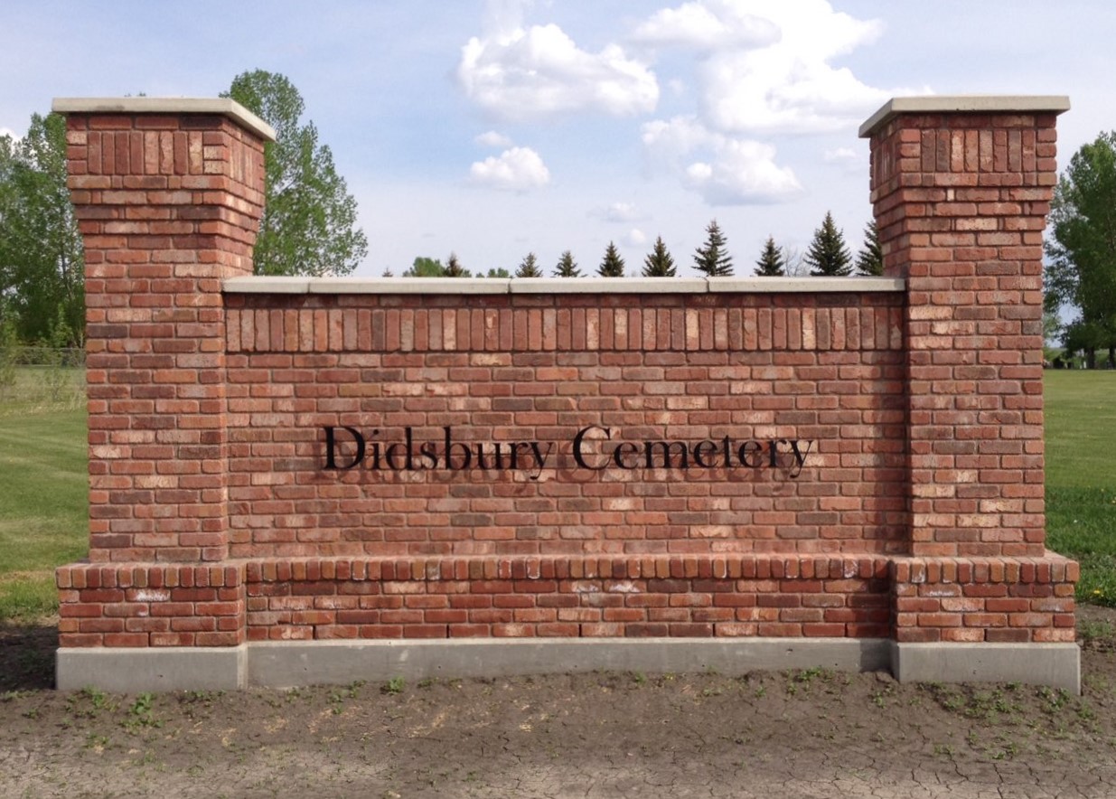
Nearest Populated Centre: Didsbury,
Province: Alberta

Map Location

Latitude, Longitude
51.65318, -114.135

Map Location

Search for:
RESET
Surname Given Name Born Died Age Photos Cemetery R Code

The 25 most common surnames found in this cemetery.

loader

The 25 most common given names found in this cemetery.

loader

Other Cemeteries

Stockburger Cemetery (Cypress County)

Township Road 190 and Range Road 20 , Hilda , Alberta

Woolford Cemetery (Cardston County)

Highway 502 S of Township Road 31A , Woolford , Alberta

Assumption Cemetery (Forty Mile County)

Range Rd 130, Township Rd 92 , Grassy Lake , Alberta

Arrowwood Cemetery (Vulcan County)

Range Rd 233 just south of Twp Rd 205 , Arrowwood , Alberta

Stirling Mennonite Cemetery (Warner County)

Range Road 195 S of Highway 52 , Stirling , Alberta

Hainstock Cemetery (Mountain View County)

Highway 27; 5 km west of Olds , Olds , Alberta

Albion Ridge Cemetery (Lethbridge County)

Range Rd 22-2 & Twp Rd 12-0 , Barons , Alberta

Valley View Lutheran Cemetery (Forty Mile County)

Township Road 84 and Range Road 77 , Seven Persons , Alberta

Irricana Town Cemetery (Rocky View County)

Cemetery Rd & Hendricks Dr , Irricana , Alberta

Discover Alberta Ancestors