
142044 Range Road 185
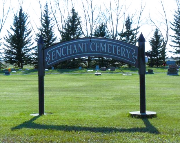
Enchant began as a Canadian Pacific Railway (CPR) townsite in 1914. The town’s current name is certainly a more optimistic one than the original name of Lost Lake. The origin of the name Enchant is unknown, but an interesting theory appears in the local history book Drybelt Pioneers.The next locality on this CPR branch line is Retlaw – “Walter” spelled backwards – and said to be named for Walter R. Baker, the CPR General Manager’s assistant. Enchant, according to this theory, forms part of an acrostic that also spells Walter: Winfield, Armada, Lomond, Travers, Enchant, and Retlaw.
Address
142044 Range Road 185
Nearest Populated Centre: Enchant,
Province: Alberta
Map Location
Latitude, Longitude
50.1728, -112.43902
Map Location
| Surname | Given Name | Born | Died | Age | Photos | Cemetery | R Code |
|---|---|---|---|---|---|---|---|
The 25 most common surnames found in this cemetery.

The 25 most common given names found in this cemetery.