Deaths

Longevity

Address

Highway 795 and Range Road 251
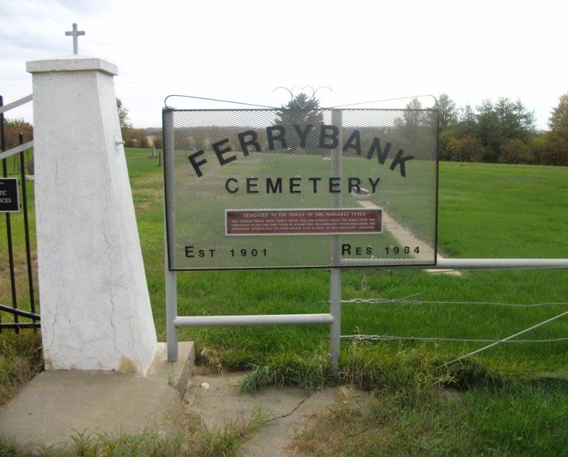
Nearest Populated Centre: Ponoka,
Province: Alberta

Map Location

Latitude, Longitude
52.7557, -113.80047

Map Location

Search for:
RESET
Surname Given Name Born Died Age Photo(s) Cemetery Obituary Narrative R Code

The 25 most common surnames found in this cemetery.

loader

The 25 most common given names found in this cemetery.

loader

Other Cemeteries

Foothills Cemetery (Foothills County)

176044 402 Ave W , Diamond Valley , Alberta

Etzikom Cemetery (Forty Mile County)

Township Road 64, Range Road 91, Highway 885 , Etzikom , Alberta

Pleasant View Cemetery (Forty Mile County)

8 km west of junction of Highway 501 and Range Road 63 , Manyberries , Alberta

Box Springs Cemetery (Cypress County)

Twp Rd 142 & Range Rd 62 , Redcliff , Alberta

Cayley Cemetery (Foothills County)

88207 - 658 Avenue E , Cayley , Alberta

St. Rita's Cemetery (Rockyford, Wheatland County)

412 Serviceberry Trail , Rockyford , Alberta

St. Joseph's Cemetery (Schuler, Cypress County)

Twp Rd 162 and Rge Rd 13 , Schuler , Alberta

St. Mary's Cemetery (Beiseker, Rocky View County)

Township Rd 282 & Range Rd 261 , Beiseker , Alberta

Crossfield Cemetery (Rocky View County)

10063 Township Rd 285 , Crossfield , Alberta

Pendant D'Oreille Cemetery (Forty Mile County)

Township Rd 33 and Range Road 73 , Orion , Alberta

Discover Alberta Ancestors