Deaths

Longevity

Address

Highway 795 and Range Road 251
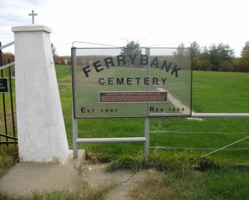
Nearest Populated Centre: Ponoka,
Province: Alberta

Map Location

Latitude, Longitude
52.7557, -113.80047

Map Location

Search for:
RESET
Surname Given Name Born Died Age Photo(s) Cemetery Obituary Narrative R Code

The 25 most common surnames found in this cemetery.

loader

The 25 most common given names found in this cemetery.

loader

Other Cemeteries

Cessford Cemetery (Special Area No. 2)

Highway 561 E of Highway 876 , Cessford , Alberta

Norwegian Lutheran Cemetery (Cypress County)

Rge Rd 20 and Twp Rd 160 , Schuler , Alberta

Glen Banner Lutheran Cemetery (Forty Mile County)

Township Road 72 and Range Road 64 , Orion , Alberta

Jenner Cemetery (Special Area No. 2)

Highway 884 and Highway 555 , Jenner , Alberta

Nemiscam Cemetery (Forty Mile County)

Highway 501 (Red Coat Trail) and Range Road 103 , Nemiskam , Alberta

Hand Hills Baptist Cemetery (Special Area No. 2)

Range Road 163 and Township Road 302 , Hanna , Alberta

Beiseker Community Cemetery (Rocky View County)

Range Rd 262, south of Township Rd 282 , Beiseker , Alberta

Schlaht Cemetery (Cypress County)

Township Road 112 and Range Road 21 , Irvine , Alberta

Enchant Cemetery (MD of Taber)

142044 Range Road 185 , Enchant , Alberta

Cremona Community Cemetery (Mountain View County)

Township Rd 295B & Highway 580 , Cremona , Alberta

Discover Alberta Ancestors