Deaths

Longevity

Address

Highway 795 and Range Road 251
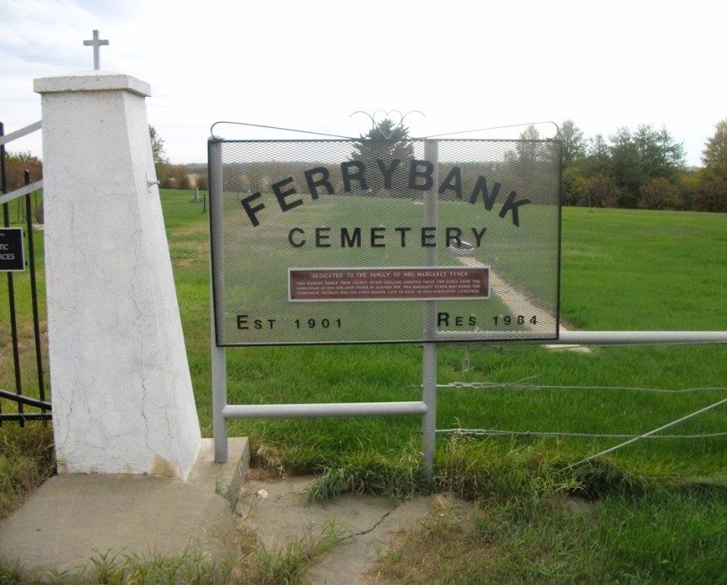
Nearest Populated Centre: Ponoka,
Province: Alberta

Map Location

Latitude, Longitude
52.7557, -113.80047

Map Location

Search for:
RESET
Surname Given Name Born Died Age Photo(s) Cemetery Obituary Narrative R Code

The 25 most common surnames found in this cemetery.

loader

The 25 most common given names found in this cemetery.

loader

Other Cemeteries

Eagle Valley Cemetery (Mountain View County)

4455 Twp Rd 340 , Sundre , Alberta

St. Peter's Lutheran Cemetery (Schuler, Cypress County)

Rge Rd 23 between Twp Rd 154 and Hwy 528 , Schuler , Alberta

Friedens Cemetery (Special Area No. 2)

Range Road 151 and Township Road 300 , Hanna , Alberta

Burdett Cemetery (Forty Mile County)

Township Road 103 and Range Road 121 , Burdett , Alberta

Gilby Cemetery (Lacombe County)

Range Road 33A S of Highway 12 , Gilby , Alberta

Granum Hutterian Brethren Cemetery (MD of Willow Creek)

Township Road 110 W of Highway 2 , Granum , Alberta

Rosemary North Cemetery (Newell County)

Range Road 160 N of Highway 550 , Rosemary , Alberta

Barons Cemetery (Lethbridge County)

Twp Rd 23 south of Rge Rd 520 , Barons , Alberta

Freudental Carbon Cemetery (Kneehill County)

234002 Twp Rd 284 , Carbon , Alberta

Discover Alberta Ancestors