Deaths

Longevity

Address

Highway 795 and Range Road 251
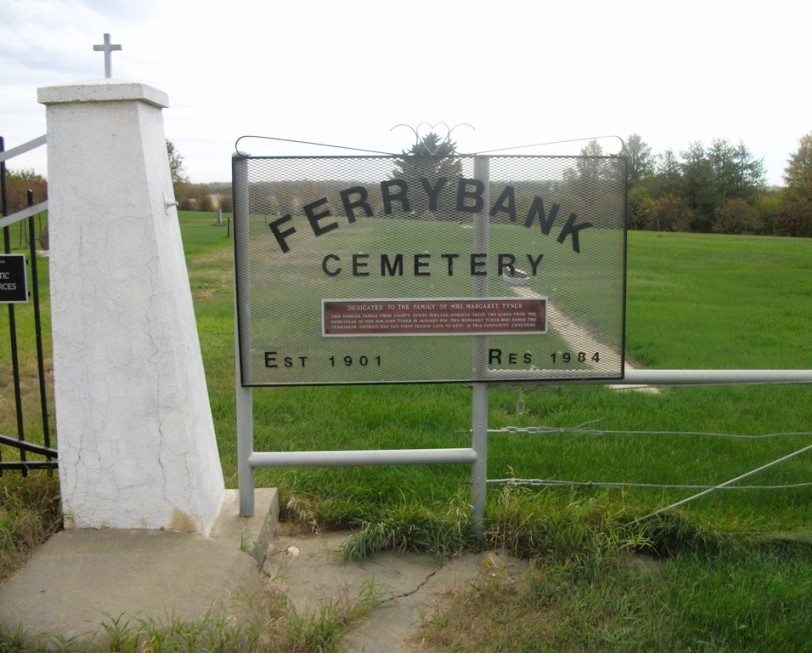
Nearest Populated Centre: Ponoka,
Province: Alberta

Map Location

Latitude, Longitude
52.7557, -113.80047

Map Location

Search for:
RESET
Surname Given Name Born Died Age Photo(s) Cemetery Obituary Narrative R Code

The 25 most common surnames found in this cemetery.

loader

The 25 most common given names found in this cemetery.

loader

Other Cemeteries

Coffin Handle Butte Cemetery (Vulcan County)

top of Coffin Handle Butte east of Milo AB , Milo , Alberta

Bradshaw Cemetery (Ponoka County)

Range Road 40 S of Township Road 414 , Leedale , Alberta

Westerdale Cemetery (Mountain View County)

32180 Hwy 766 , Westerdale , Alberta

Youngstown Cemetery (Special Area No. 3)

Highway 884 just S of Youngstown , Youngstown , Alberta

Reist Mennonite Cemetery (Special Area No. 2)

Rge Rd 100a, Special Area No. 2 , N of Youngstown , Alberta

Green Valley Cemetery (Clearwater County)

63040 Highway 598 , Codner , Alberta

Irricana United Church Cemetery (Rocky View County)

Hwy 567 & Range Rd 274 , Irricana , Alberta

Sutherland Cemetery (Newell County)

Range Road 141 and Township Road 191 , Brooks , Alberta

Cayley Cemetery (Foothills County)

88207 - 658 Avenue E , Cayley , Alberta

Discover Alberta Ancestors