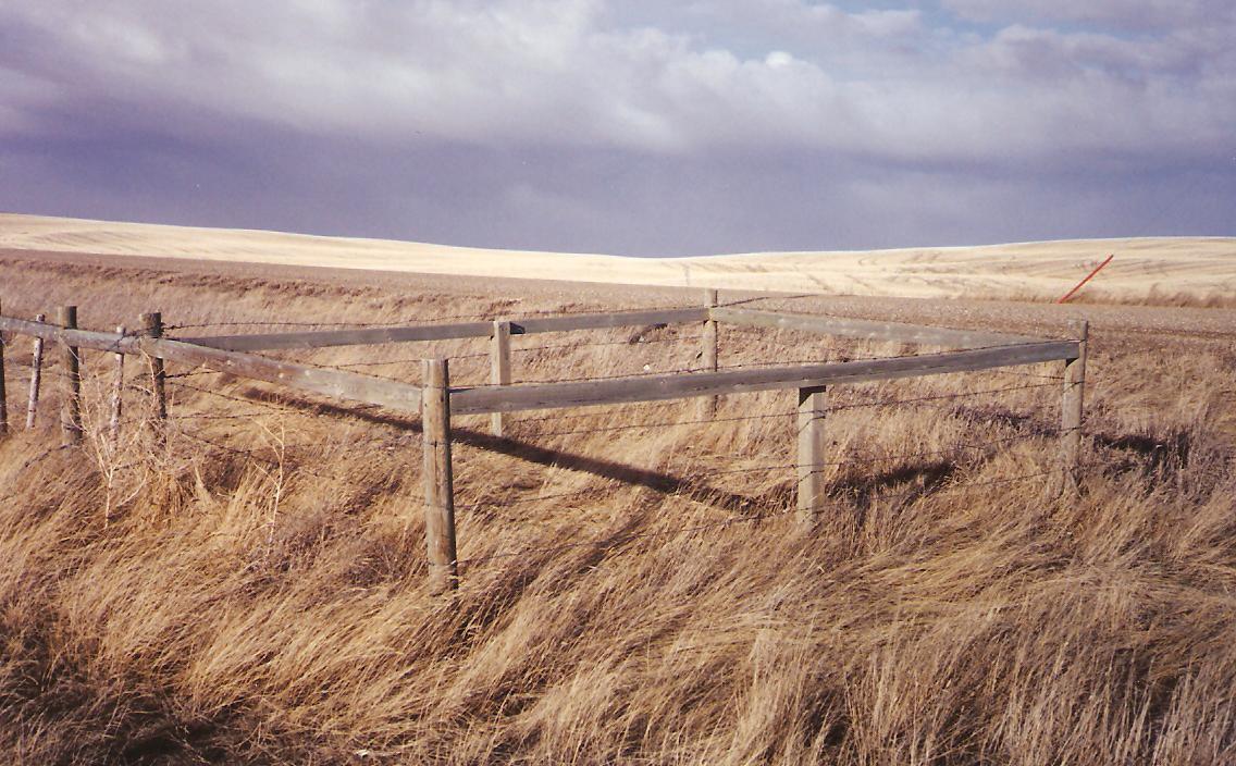
This small cemetery is eight miles west and two miles south of Hilda, Alberta, at the junction of Range Road 23 and Township Road 174. The plot is fenced but grass is uncut, as at August 12, 1995.

Courtesy of Medicine Hat and District Genealogical Society (MHDGS)

Deaths

Longevity

Address

Rge Rd 23 & Twp Rd 174
Nearest Populated Centre: Hilda,
Province: Alberta

Map Location

Latitude, Longitude
50.45566, -110.21127

Map Location

Search for:
RESET
Surname Given Name Born Died Age Photos Cemetery R Code

The 25 most common surnames found in this cemetery.

loader

The 25 most common given names found in this cemetery.

loader

Other Cemeteries

Springbank Cemetery (Rocky View County)

250011 Range Rd 33 , Calgary , Alberta

Fertile Plains Cemetery (Forty Mile County)

Highway 885, Township Road 85, Range Road 102 , Maleb, Bow Island area , Alberta

Old Monarch Cemetery (Lethbridge County)

Range Rd 235 South of Hwy 3A , Monarch , Alberta

Kimball Cemetery (Cardston County)

Township Road 21 / Range Road 250(B) N of Kimball , Kimball , Alberta

Ewing Cemetery (Stettler County)

Township Road 372 & Range Road 212A , Erskine , Alberta

Andrew Beierbach Homestead Cemetery (Cypress County)

Twp Rd 184 & Rge Rd 31 , Hilda , Alberta

Burlington Cemetery (Forty Mile County)

Twp Rd 44 & Range Rd 110 , Foremost , Alberta

Homeland Cemetery (Kneehill County)

292044 Rge Rd 211A , Dunphy , Alberta

Cremona Community Cemetery (Mountain View County)

Township Rd 295B & Highway 580 , Cremona , Alberta

St. Mary's Tide Lake Cemetery (Cypress County)

Range Road 100 S of Highway 544 , Jenner , Alberta

Discover Alberta Ancestors