Township Road 72 and Range Road 64

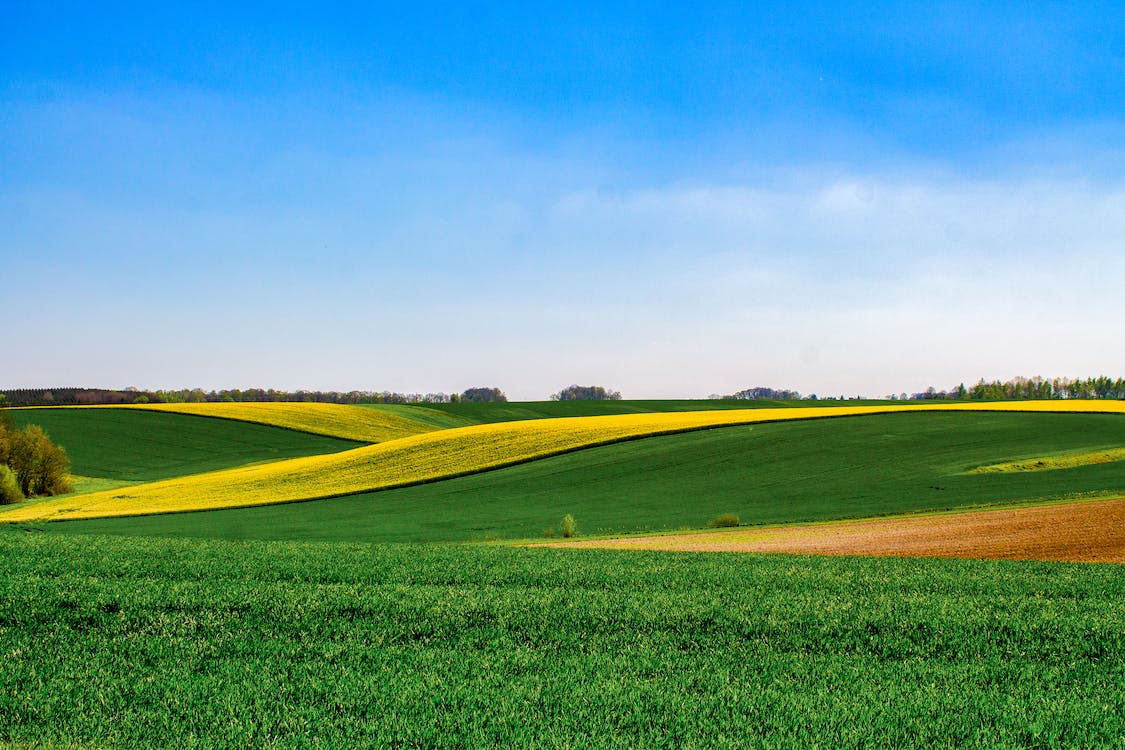
This cemetery in Forty Mile County is located about 0.8 kilometers (1/2 mile) south of Township Road #72 along the road allowance for Range Road #64, if that road existed. Basically it is south of the half way point between Range Roads #63 and #65. There is no vehicular access, only a walk in along a “Prairie Trail”.
The cemetery is also known as Reierstad Cemetery,Barby-Glen Banner Emmanuel Lutheran Cemetery, Emmanuel Barby Cemetery, and Glen Banner Lutheran Cemetery.
Courtesy of Medicine Hat and District Genealogical Society (MHDGS)
Address
Township Road 72 and Range Road 64
Nearest Populated Centre: Orion,
Province: Alberta
Map Location
Latitude, Longitude
49.54924, -110.77151
Map Location
| Surname | Given Name | Born | Died | Age | Photos | Cemetery | R Code |
|---|---|---|---|---|---|---|---|
The 25 most common surnames found in this cemetery.

The 25 most common given names found in this cemetery.

