Courtesy of Medicine Hat and District Genealogical Society (MHDGS)

Deaths

Longevity

Address

Twp Rd 100 & Range Rd 12 (Graburn Road)
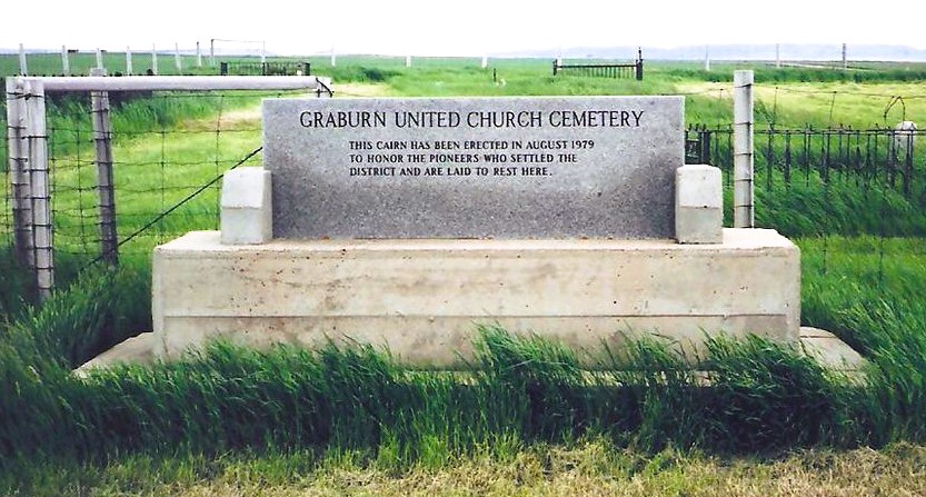
Nearest Populated Centre: Walsh,
Province: Alberta

Map Location

Latitude, Longitude
49.78545, -110.04853

Map Location

Search for:
RESET
Surname Given Name Born Died Age Photo(s) Cemetery Obituary Narrative R Code

The 25 most common surnames found in this cemetery.

loader

The 25 most common given names found in this cemetery.

loader

Other Cemeteries

Travers Cemetery (Vulcan County)

Township Rd 154 and Range Rd 193 , Lomond , Alberta

Church of God Cemetery (Schuler, Cypress County)

Twp Rd 162 & Rge Rd 23 , Schuler , Alberta

Rosebud Cemetery (Wheatland County)

Twp Rd 272 , Rosebud , Alberta

Alston Cemetery (Vulcan County)

Hwy 527 & Twp Rd 142; SW of Champion , SW of Champion , Alberta

Bloomsbury Pentecostal Cemetery (Barrhead County)

Township Road 604 and Range Road 35 , Bloomsbury , Alberta

St. Peter's German Latvian Lutheran Cemetery (Irvine, Cypress County)

Township Road 100 & Range Road 31 , Irvine , Alberta

Rosemary North Cemetery (Newell County)

Range Road 160 N of Highway 550 , Rosemary , Alberta

Jennings (Northern) Cemetery (Special Area No. 2)

Range Road 113 N of Township Road 250 , Cessford , Alberta

Kin Coulee Cemetery (Medicine Hat)

Old Cemetery Rd SE , Medicine Hat , Alberta

St. Mary's Cemetery (Beiseker, Rocky View County)

Township Rd 282 & Range Rd 261 , Beiseker , Alberta

Discover Alberta Ancestors