Granum is a town on Secondary Highway 519, approximately 50 kilometres northwest of Lethbridge. It was originally known as Leavings, as the point on the Calgary-Fort Benton Trail that left the banks of the Willow Creek. Its location in a fertile wheat-growing district prompted future provincial treasurer Malcolm McKenzie, who represented the are in the Legislature at the time, to suggest a new name: Granum, the Latin word for “grain”. The Leavings post office was renamed Granum in 1907. Granum became a village in 1908 and a town in 1910.

Deaths

Longevity

Address

Highway 19 and Service Road 2 E; next to Highway 2
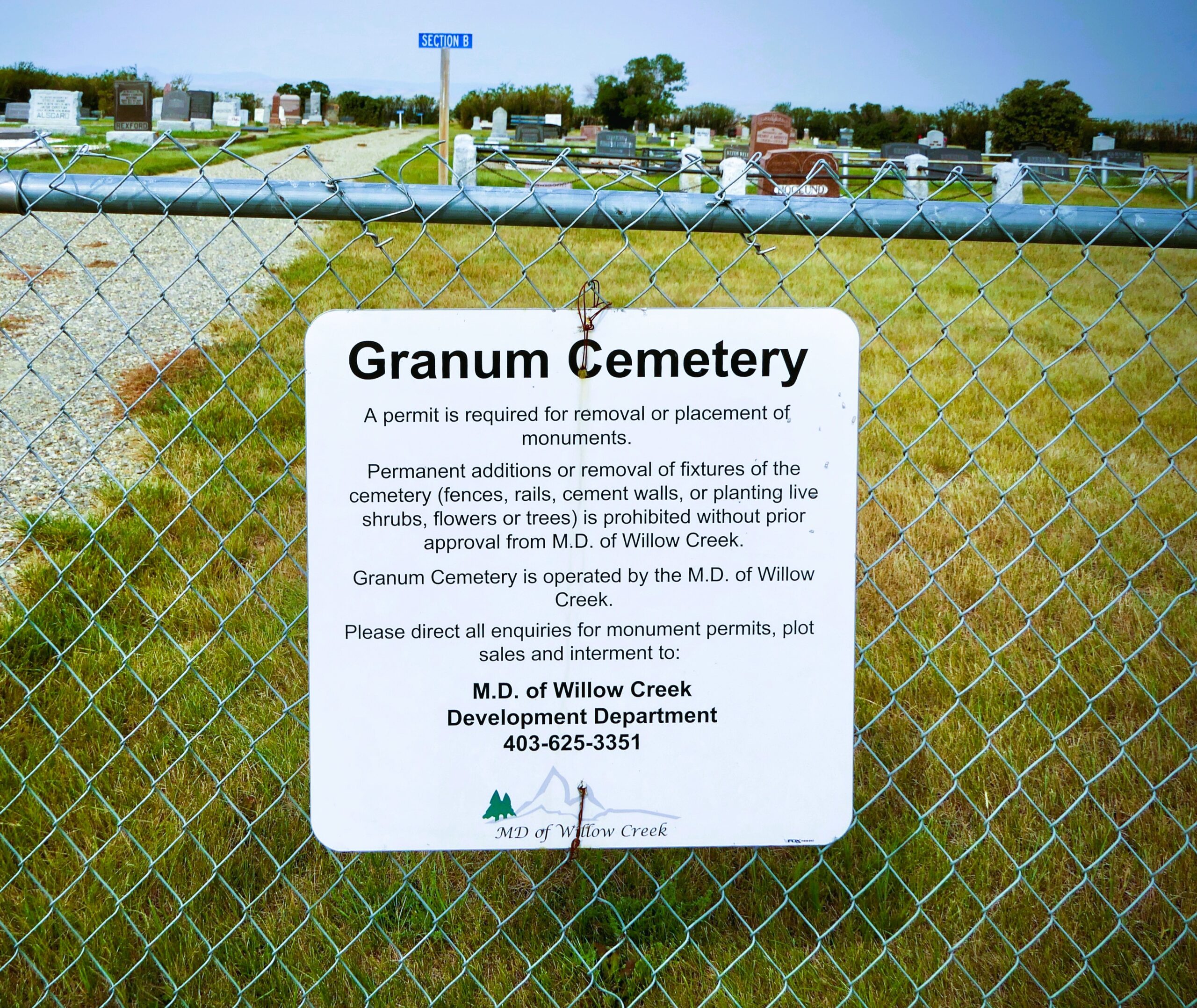
Nearest Populated Centre: Granum,
Province: Alberta

Map Location

Latitude, Longitude
49.88117, -113.52608

Map Location

Search for:
RESET
Surname Given Name Born Died Age Photos Cemetery R Code

The 25 most common surnames found in this cemetery.

loader

The 25 most common given names found in this cemetery.

loader

Other Cemeteries

Evangelical Lutheran Church of Zion (Forty Mile County)

Township Road 62 and Range Road 55, east of Highway 889 , Manyberries , Alberta

Cowley Cemetery (MD of Pincher Creek)

Range Rd 14 , Cowley , Alberta

O Perfect Peace Cemetery (Vulcan County)

Range Road 212 between Township Roads 190 and 192 , Milo , Alberta

St. Peter's German Latvian Lutheran Cemetery (Irvine, Cypress County)

Township Road 100 & Range Road 31 , Irvine , Alberta

Last Rest Mennonite Cemetery (Mountain View County)

28139 Twp Rd 320 , Didsbury , Alberta

St. Joseph's Cemetery (Foremost, Forty Mile County)

Township Road 72 and Range road 113 , Foremost , Alberta

Mayton Cemetery (Mountain View County)

27359 Twp Rd 333 , Mayton , Alberta

Wiest Cemetery (MD of Taber)

143043 Range Road 195 , Enchant , Alberta

Friedensfeld Baptist Cemetery (Cypress County)

Rge Rd 21 and Hwy 528 , Schuler , Alberta

Aspelund Cemetery (Lacombe County)

Range Road 283 S of Township Road 394 / Aspelund Rd , Blackfalds , Alberta

Discover Alberta Ancestors