Deaths

Longevity

Address

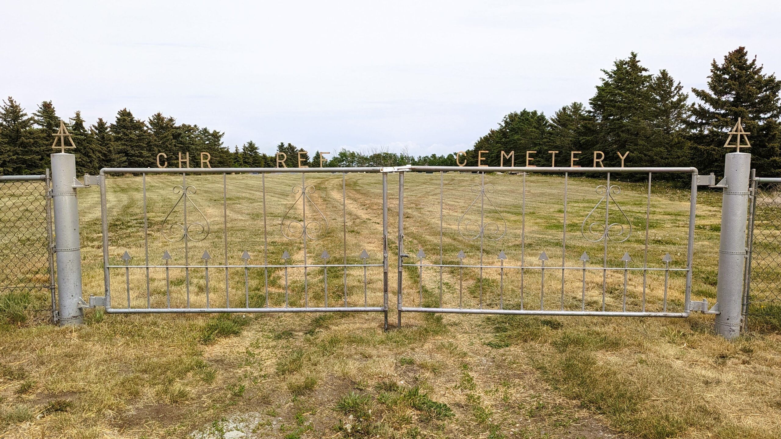
Rge Rd 254 south of Hwy 519
Nearest Populated Centre: Granum,
Province: Alberta

Map Location

Latitude, Longitude
49.85867, -113.34195

Map Location

Search for:
RESET
Surname Given Name Born Died Age Photos Cemetery R Code

The 25 most common surnames found in this cemetery.

loader

The 25 most common given names found in this cemetery.

loader

Other Cemeteries

Vockeroth Cemetery (Cypress County)

Township Road 120 and Range Road 30 , Irvine , Alberta

Champion Cemetery (Vulcan County)

1 St South , Champion , Alberta

Vulcan Cemetery (Vulcan County)

Highway 534 and 10th Avenue North , Vulcan , Alberta

Pakowki Cemetery (Forty Mile County)

Township Road 52 and Range Road 73 , Orion , Alberta

Beiseker Level Land Seventh-day Adventist Cemetery (Rocky View County)

Range Rd 242, south of Highway #9 , Beiseker , Alberta

Graham Cemetery (Mountain View County)

NE corner of Range Rd 52 & Township Rd 302 , NW of Cremona , Alberta

Indian Battle Park Cemetery (City of Lethbridge)

200 Indian Battle Road South (Riverbottom) , Lethbridge , Alberta

Highfield Christian Reformed Cemetery (Forty Mile County)

Highway 879, Township Road 80, Range Road 121 , Burdett , Alberta

Rosebud Cemetery (Wheatland County)

Twp Rd 272 , Rosebud , Alberta

Graburn United Church Cemetery (Cypress County)

Twp Rd 100 & Range Rd 12 (Graburn Road) , Walsh , Alberta

Discover Alberta Ancestors