
EN212 Hays Road 30 N
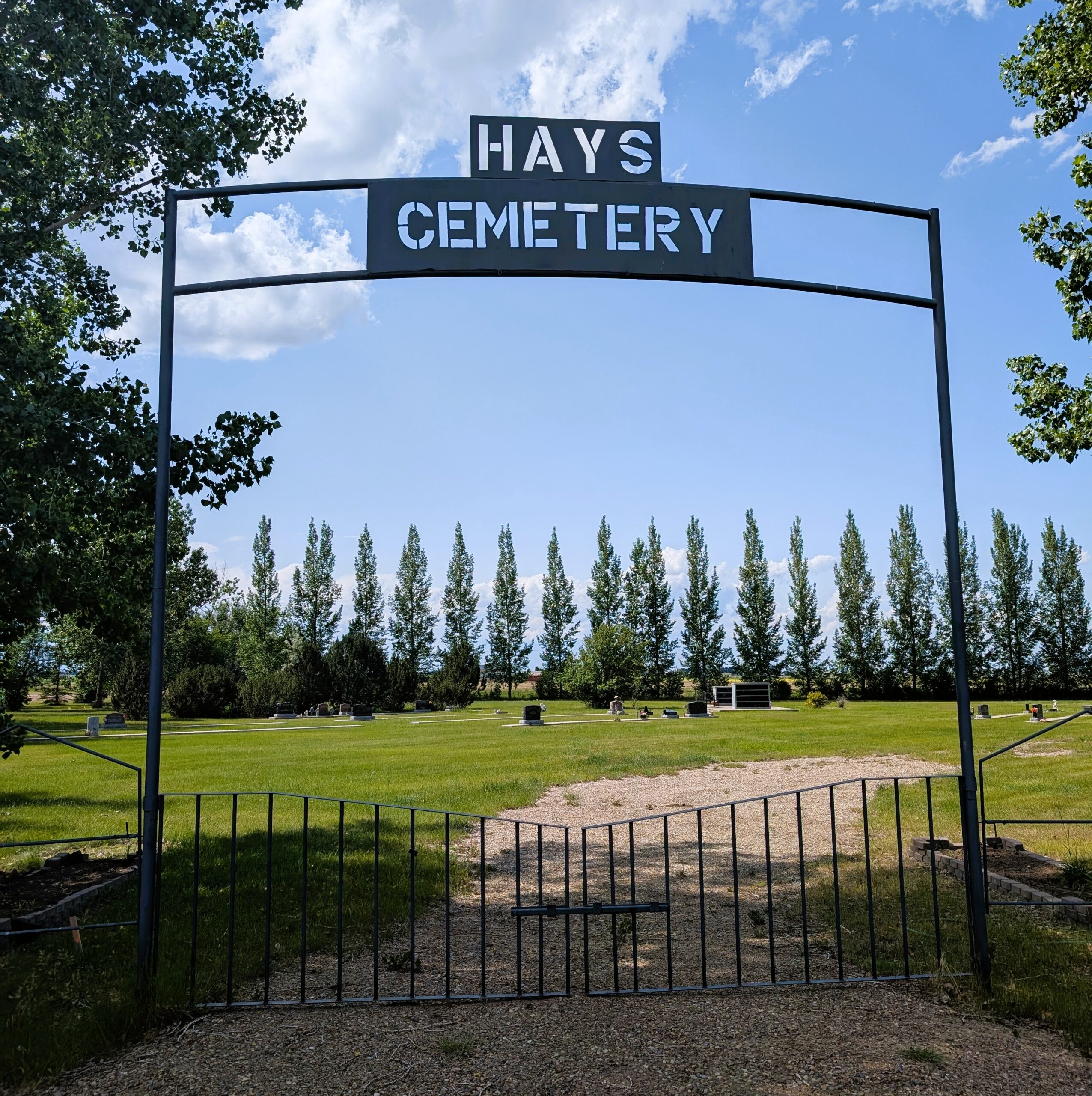
Hays Cemetery, located in the hamlet of Hays within the Municipal District of Taber, is a small but meaningful community burial ground.
Hays was named in honour of David Walker Hays (1878–1958), who served as the chief engineer and manager of the Canada Land and Irrigation Company from 1911 to 1951. The hamlet officially celebrated its 50th anniversary in 2002, marking its establishment around 1952.
The region’s transformation began with early irrigation efforts: as early as 1912, a canal and irrigation system extended from the Bow River at Carseland, but active irrigation of land in Hays began only after PFRA (Prairie Farm Rehabilitation Administration) acquired and revitalized the infrastructure in 1950. This fundamentally shaped settlement growth and agriculture around Hays.
Address
EN212 Hays Road 30 N
Nearest Populated Centre: Hays,
Province: Alberta
Map Location
Latitude, Longitude
50.10074, -111.79136
Map Location
| Surname | Given Name | Born | Died | Age | Photos | Cemetery | R Code |
|---|---|---|---|---|---|---|---|
The 25 most common surnames found in this cemetery.

The 25 most common given names found in this cemetery.