Twp Rd 350 west of Rge Rd 264

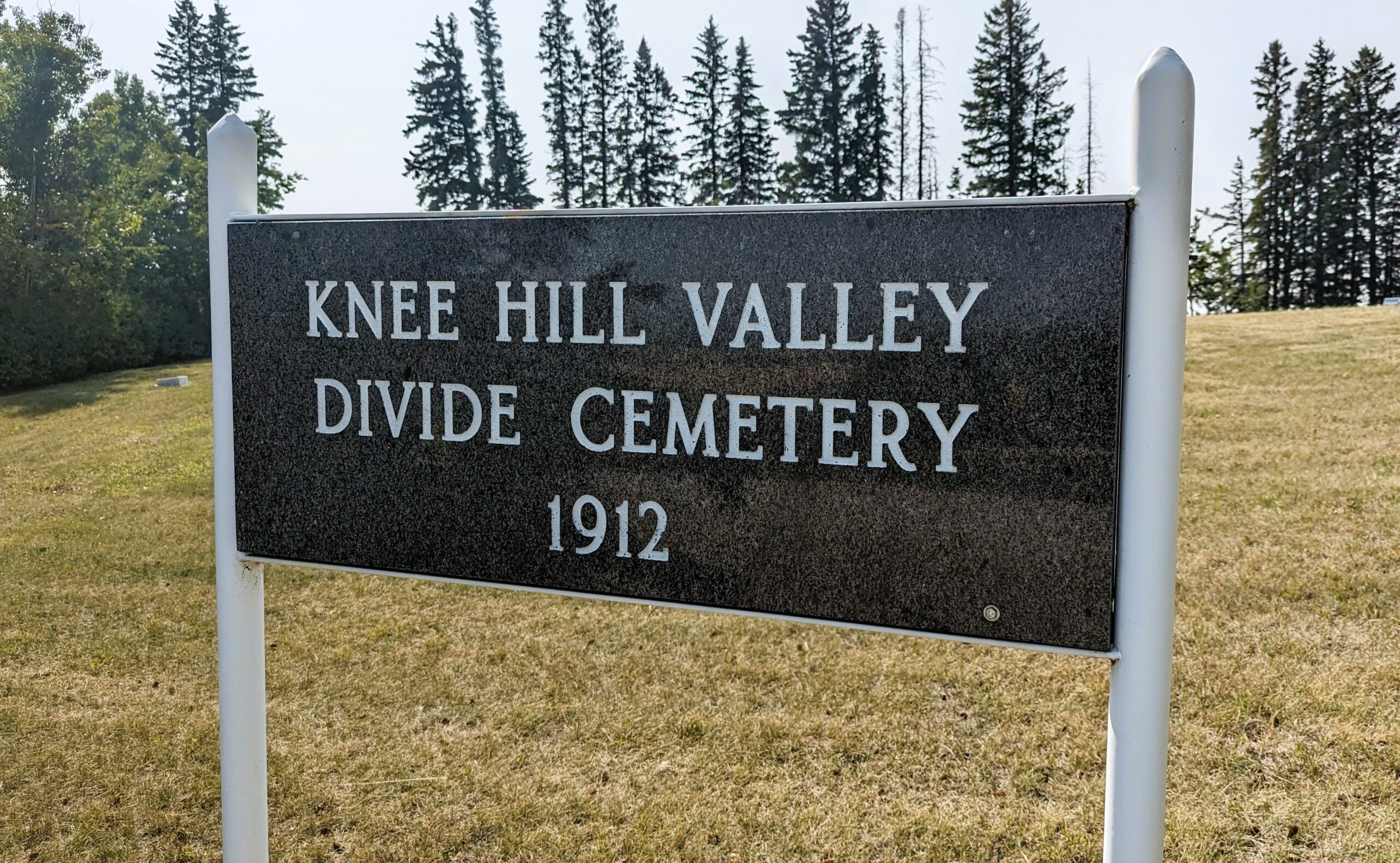
The Knee Hill Valley is a beautiful valley located ten miles east of Innisfail, Alberta. Settlers arrived in the 1890’s and many of the family names are still located in the area. Some still farm the original homesteads. The Knee Hill Valley Divide Cemetery is located east of Innisfail, Alberta. It’s a small cemetery with just 75 interments, but very well-kept and peaceful.
Innisfail is a town in central Alberta. It is located in the Calgary-Edmonton Corridor, south of Red Deer at the junction of Highway 2 and Highway 54. The town’s name comes from an Irish-language epithet for Ireland, Inis Fáil, “Isle of Destiny”. Sandy Fraser, Napoleon Remillard, Arthur Content and Bill Kemp settled in the area from 1884 to 1887. These were Innisfail’s first settlers. Dr. Henry George was an important physician and coroner for Calgary and Central Alberta. He settled in Innisfail and built a house he called “Lindum Lodge” More people continued to move to the Innisfail area. The construction of the railroad attracted more settlers and business. One of the first businessmen in the area was G. W. West. He is very important to Innisfail’s past as he ran a general store, meat market, and grocery store. He was Innisfail’s first proprietor when he moved here in 1891. By the 1900s, Innisfail was a village.
Address
Twp Rd 350 west of Rge Rd 264
Nearest Populated Centre: Knee Hill Valley,
Province: Alberta
Map Location
Latitude, Longitude
51.96844, -113.66701
Map Location
| Surname | Given Name | Born | Died | Age | Photos | Cemetery | R Code |
|---|---|---|---|---|---|---|---|
The 25 most common surnames found in this cemetery.

The 25 most common given names found in this cemetery.

