
Rge Rd 529 west of Hwy 23
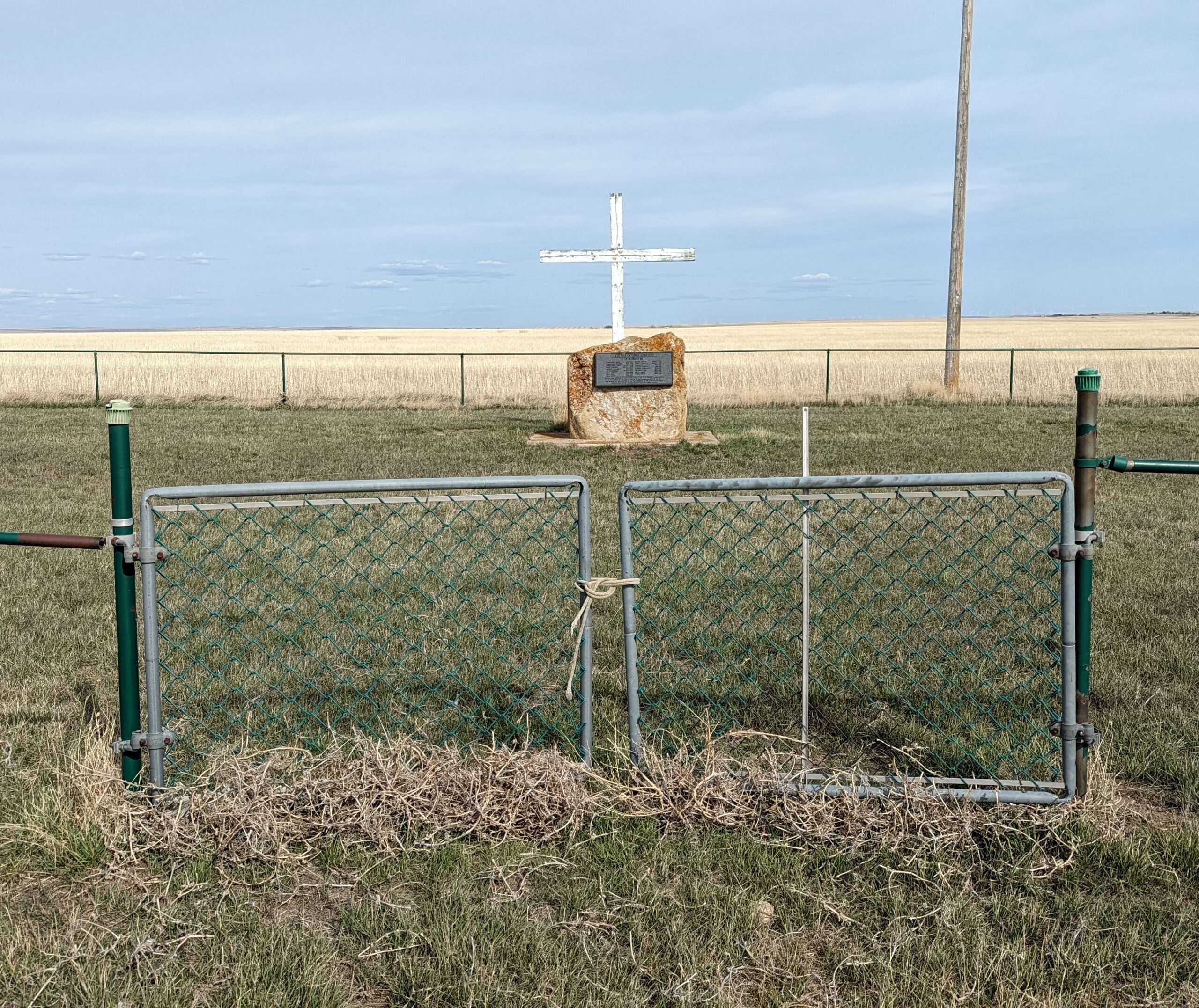
No, that’s not a typo… it is indeed Fath Hill (the cemetery) and not Faith Hill (the country singer)! Fath Hill cemetery is located a 10 minute drive southwest of the village of Champion. In turn Champion is an hour and a half’s drive south and then east of Calgary. Fath Hill is a small cemetery, with just 17 interments recorded as of 2023.
Champion sprung into being in 1904, when homesteaders arrived in the area. The birth of the town was the product of the rapid settlement of the farming and ranching land in the area, but it was also fuelled by the discovery of coal. Homesteader Henry Therriualt opened the first coal mine in the area in 1906, and soon farmers were travelling from neighbouring towns (including Nanton and Stavely) to purchase coal from the Therriault mine. Their journey took them through the Clever homestead to reach the mine, and soon Martin Clever realized the business opportunity that presented itself.
Soon, a country store and a mail route were established. In 1910 the Canadian Pacific Railway (CPR) reached the area, although it became apparent that the rails themselves would not run directly past the then-current village, then named Cleverville. As a result, the townspeople decided to move, using horses and skids and wagons, all of the buildings of the town to a new location closer to the railway. This new settlement required a new name, and so the relocated Cleverville became the new Village of Champion. The Village received its charter on May 27, 1911, and the first council meeting was held in June.
There is much more historical information readily available. For those interested in further reading, please browse to https://en.wikipedia.org/wiki/Champion,_Alberta
Address
Rge Rd 529 west of Hwy 23
Nearest Populated Centre: Champion,
Province: Alberta
Map Location
Latitude, Longitude
50.21542, -113.25428
Map Location
| Surname | Given Name | Born | Died | Age | Photos | Cemetery | R Code |
|---|---|---|---|---|---|---|---|
The 25 most common surnames found in this cemetery.

The 25 most common given names found in this cemetery.