Courtesy of Medicine Hat and District Genealogical Society (MHDGS)

Deaths

Longevity

Address

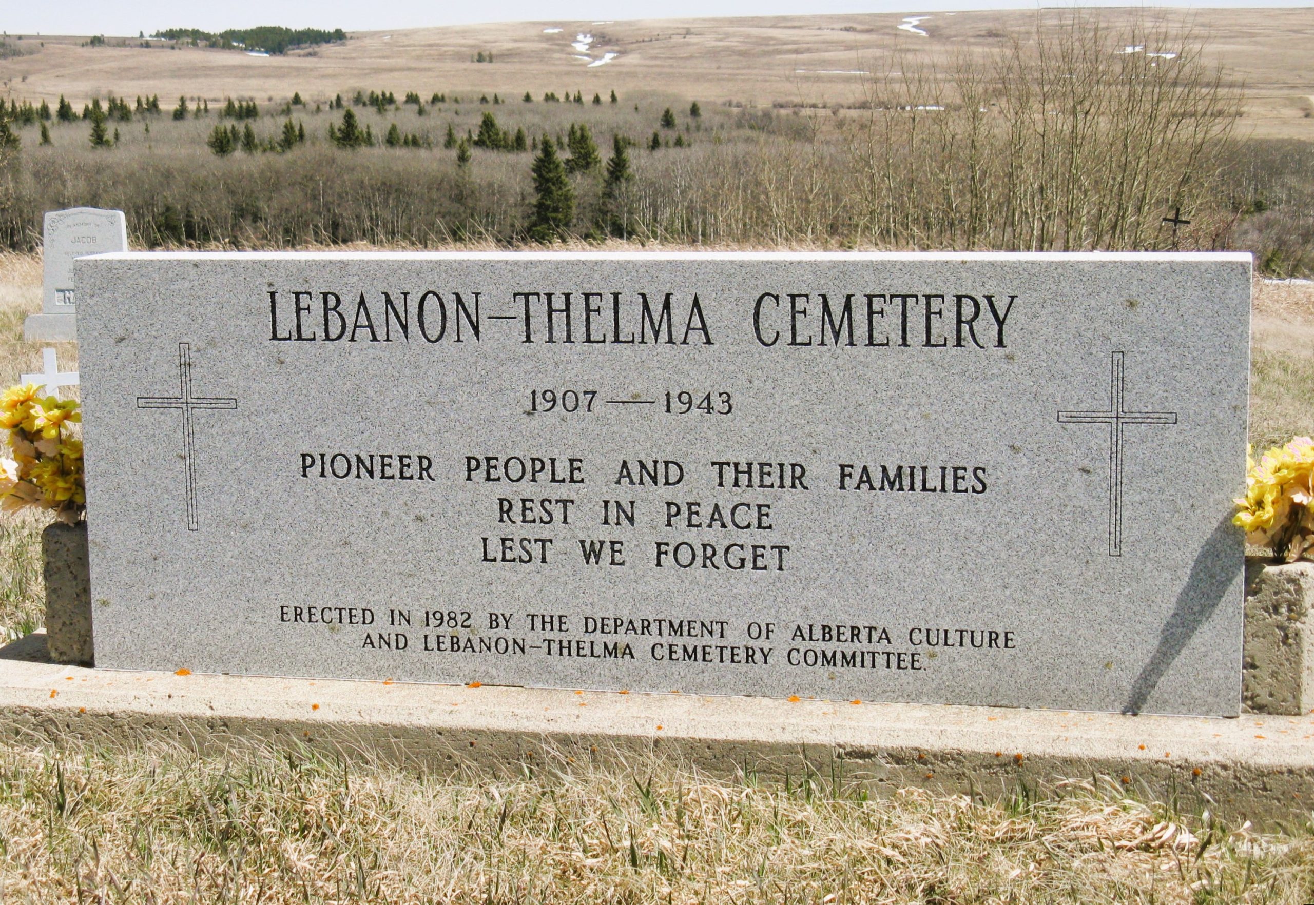
Twp Rd 74 & Range Rd 31
Nearest Populated Centre: Irvine,
Province: Alberta

Map Location

Latitude, Longitude
49.60307, -110.29783

Map Location

Search for:
RESET
Surname Given Name Born Died Age Photos Cemetery R Code

The 25 most common surnames found in this cemetery.

loader

The 25 most common given names found in this cemetery.

loader

Other Cemeteries

Bottrel Cemetery (Rocky View County)

Range Rd 43 & Township Rd 283 , Bottrel , Alberta

East Olds Baptist Cemetery (Mountain View County)

Highway 27 (east of Olds) , Olds , Alberta

Hilda Seventh Day Adventist Cemetery (Cypress County)

Twp Rd 182 & Rge Rd 13 , Hilda , Alberta

Whitla Cemetery (Forty Mile County)

Range Road 84 north of Highway 3 , Whitla , Alberta

Horseguard Cemetery (Clearwater County)

Range Road 5-5 S of Highway 11 , Alhambra , Alberta

Belvedere Cemetery (Barrhead County)

3417 Hwy 654 , Barrhead , Alberta

Caldwell-Moir Cemetery (Cardston County)

Range Road 280 S of Township Road 25A , Mountain View , Alberta

Bow City Cemetery (Newell County)

Rge Rd 165 north of Hwy 539 , Brooks , Alberta

Burnbrae Cemetery (Ponoka County)

Township Road 444 east of Highway 771 , Homeglen , Alberta

Discover Alberta Ancestors