Courtesy of Medicine Hat and District Genealogical Society (MHDGS)

Deaths

Longevity

Address

Eagle Butte Rd (Range Rd 51) and Twp Rd 100
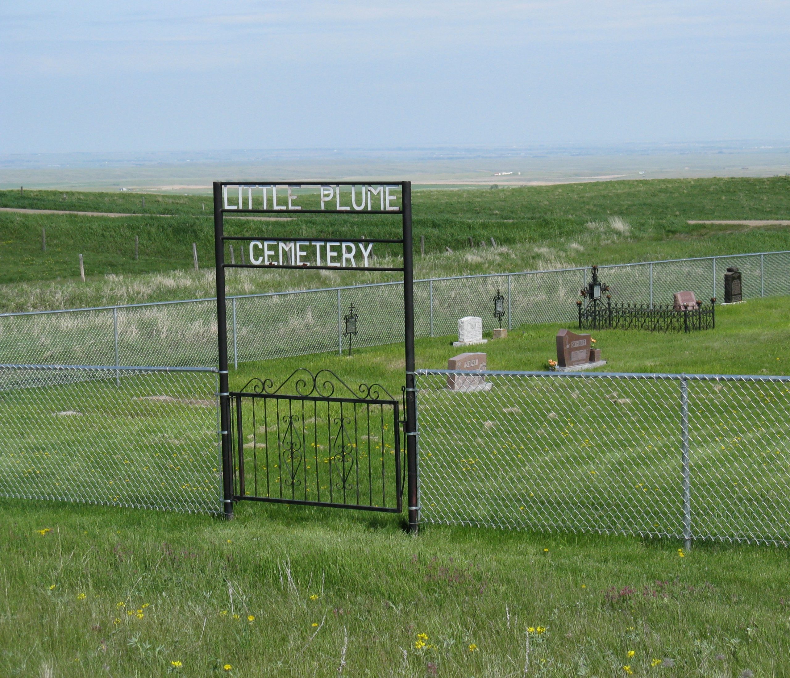
Nearest Populated Centre: South of Dunmore,
Province: Alberta

Map Location

Latitude, Longitude
49.78588, -110.56908

Map Location

Search for:
RESET
Surname Given Name Born Died Age Photo(s) Cemetery Obituary Narrative R Code

The 25 most common surnames found in this cemetery.

loader

The 25 most common given names found in this cemetery.

loader

Other Cemeteries

Zion Cemetery (Many Islands, Cypress County)

Township Road 132 and Range Road 21 , Many Islands , Alberta

Alston Cemetery (Vulcan County)

Hwy 527 & Twp Rd 142; SW of Champion , SW of Champion , Alberta

Scotfield Cemetery (Special Area No. 2)

1st St East , Scotfield , Alberta

Dalemead Cemetery (Rocky View County)

Centre St & Highland Ave , Dalemead , Alberta

St. Peter's Lutheran Cemetery (Claresholm, MD of Willow Creek)

Twp Rd 130 & Rge Rd 263 , near Claresholm , Alberta

Rosemary North Cemetery (Newell County)

Range Road 160 N of Highway 550 , Rosemary , Alberta

Evangelical Lutheran Church of Zion (Forty Mile County)

Township Road 62 and Range Road 55, east of Highway 889 , Manyberries , Alberta

Salem Evangelical Cemetery (Hilda, Cypress County)

Twp Rd 182 & Rge Rd 11 , Hilda , Alberta

Friedensfeld Baptist Cemetery (Cypress County)

Rge Rd 21 and Hwy 528 , Schuler , Alberta

Barons Cemetery (Lethbridge County)

Twp Rd 23 south of Rge Rd 520 , Barons , Alberta

Discover Alberta Ancestors