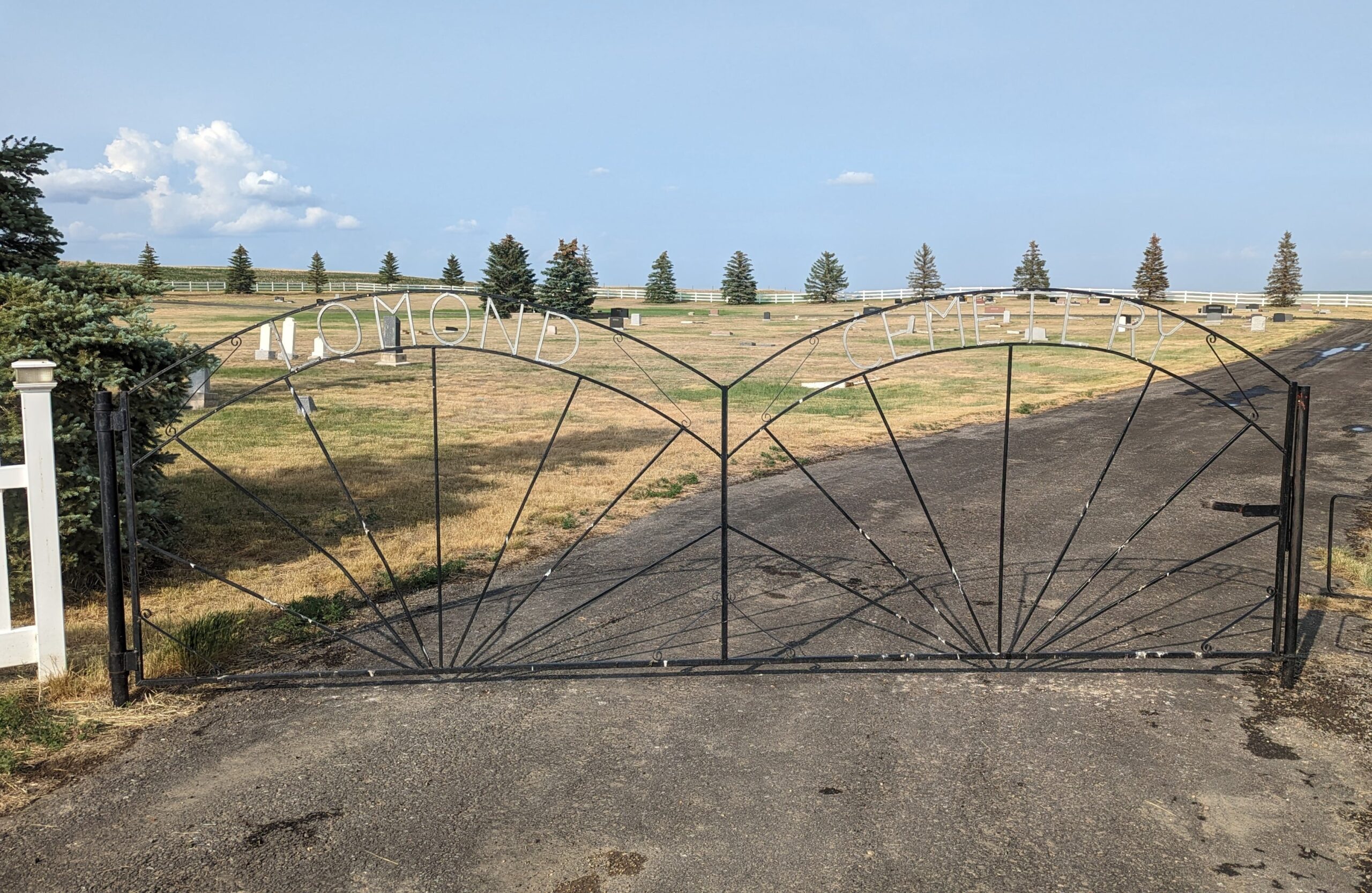
Lomond is a village on Secondary Highway 845, approximately 70 kilometres northeast of Lethbridge. G.R. Plumb opened the area’s first post office in 1910, and it was known as Brunetta. With the arrival of the Canadian Pacific Railway in 1914, the post office shifted to the new townsite and was renamed Lomond, presumably for Loch Lomond in Scotland. Lomond became a village in 1916.

Deaths

Longevity

Address

Highway 531 & Range Road 202
Nearest Populated Centre: Lomond,
Province: Alberta

Map Location

Latitude, Longitude
50.36073, -112.66143

Map Location

Search for:
RESET
Surname Given Name Born Died Age Photos Cemetery R Code

The 25 most common surnames found in this cemetery.

loader

The 25 most common given names found in this cemetery.

loader

Other Cemeteries

Bowville Cemetery (Vulcan County)

Range Road 220 and Township Road 132 , Bowville , Alberta

Schlaht Cemetery (Cypress County)

Township Road 112 and Range Road 21 , Irvine , Alberta

Russian Colony Cemetery (Ponoka County)

Highway 771 & Township Road 443 , Homeglen (or Home Glen) , Alberta

Congregational Church Cemetery (Gros Ventre, Cypress County)

Township Road 94 and Range Rd 43 , Gros Ventre - Tothill , Alberta

Five Mile Cemetery (MD of Willow Creek)

Range Rd 520, east of Claresholm , Claresholm , Alberta

Aetna Cemetery (Cardston County)

Range Road 251B SW of Town of Aetna , Aetna , Alberta

Franciscan Friars Cemetery (Rocky View County)

41160 Retreat Road , Cochrane , Alberta

St. George’s Parish Cemetery (Irvine, Cypress County)

Township Road 119 & Range Road 30 , Irvine , Alberta

Fath Hill Cemetery (Vulcan County)

Rge Rd 529 west of Hwy 23 , Champion , Alberta

Forty Mile Pioneer Cemetery (Forty Mile County)

Highway 879, Township Road 70, Range Road 112 , Foremost , Alberta

Discover Alberta Ancestors