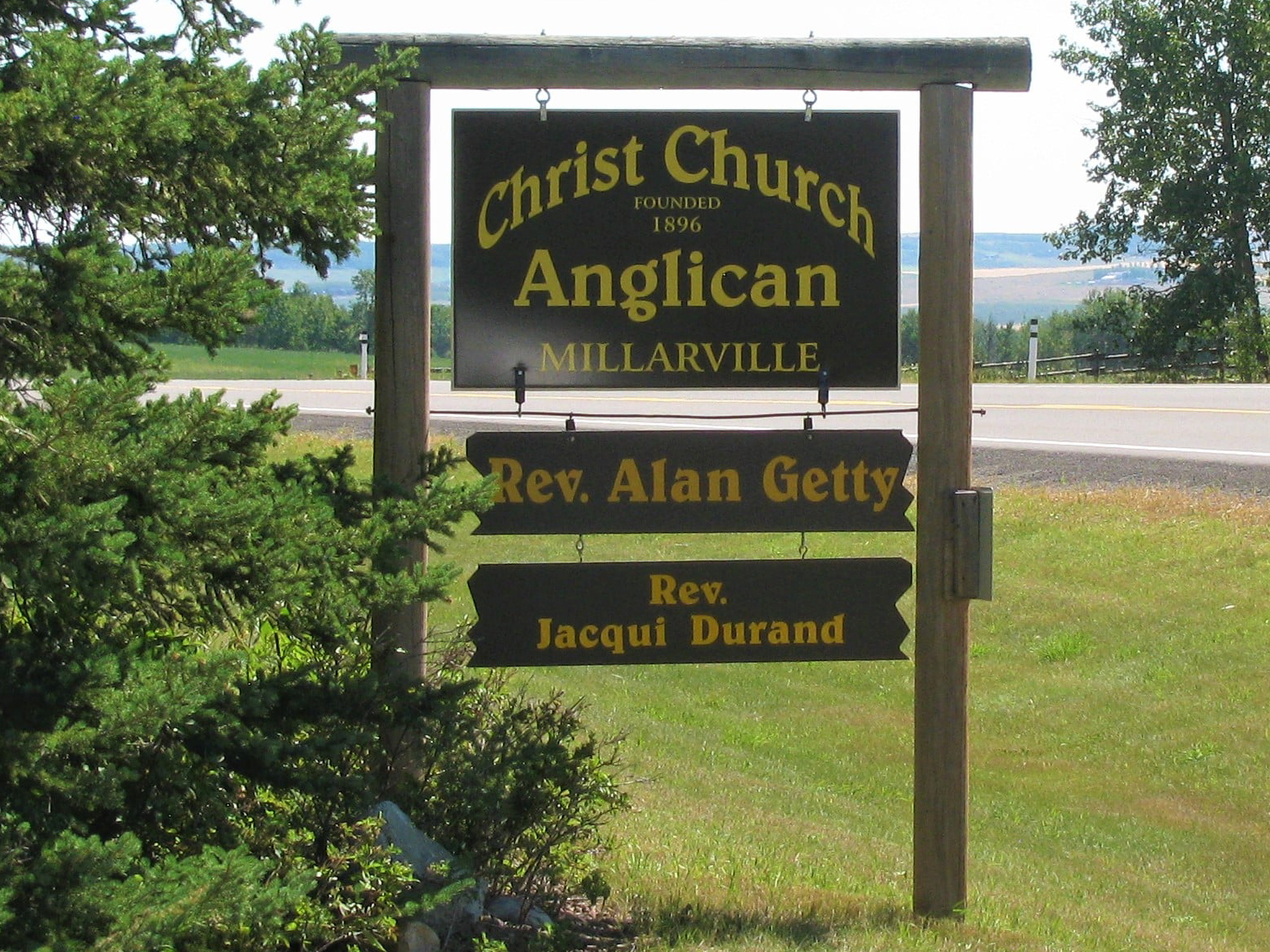
The Millarville Cemetery, also known as Christ Church Anglican Cemetery, is located about 5 km east of the town. There are 662 interments on this site.

The town is named after Malcolm Tanner Millar (1860-1937), first settler and postmaster and a resident of the area for fifty years. Millar came from Scotland in 1879 and joined the North West Mounted Police the following year. After five years with the Force, he took his discharge and homesteaded on Sheep Creek in 1886. The first post office was opened at his home in April of 1892 and served the community for twenty years until a new one was established further west.

Deaths

Longevity

Address

Highway 49
Nearest Populated Centre: Millarville,
Province: Alberta

Map Location

Latitude, Longitude
50.75558, -114.22279

Map Location

Search for:
RESET
Surname Given Name Born Died Age Photos Cemetery R Code

The 25 most common surnames found in this cemetery.

loader

The 25 most common given names found in this cemetery.

loader

Other Cemeteries

Little Plume Cemetery (Cypress County)

Eagle Butte Rd (Range Rd 51) and Twp Rd 100 , South of Dunmore , Alberta

Standard Cemetery (Wheatland County)

Highway 840 & Cemetery Road , Standard , Alberta

Prospy Cemetery (Forty Mile County)

Highway 885, Township Road 81 and Range Road 92 , Etzikom , Alberta

Reid Hill Cemetery (Vulcan County)

East of Vulcan at Rge Rd 230 , Vulcan , Alberta

Kootenay Brown Cemetery (Waterton Lakes National Park)

Highway 5, Waterton Park , Waterton , Alberta

Rocky View Garden of Peace Cemetery (Calgary)

243208 Garden Rd NE , Just outside Calgary city limits , Alberta

Chinook Cemetery (Special Area No. 3)

Range Road 74 and Township Road 290 , Chinook (NW of Cereal) , Alberta

Neuburg Adventist Cemetery (Cypress County)

Twp Rd 101 & Rge Rd 32 , Neuberg (south of Irvine) , Alberta

Beiseker Level Land Seventh-day Adventist Cemetery (Rocky View County)

Range Rd 242, south of Highway #9 , Beiseker , Alberta

Discover Alberta Ancestors