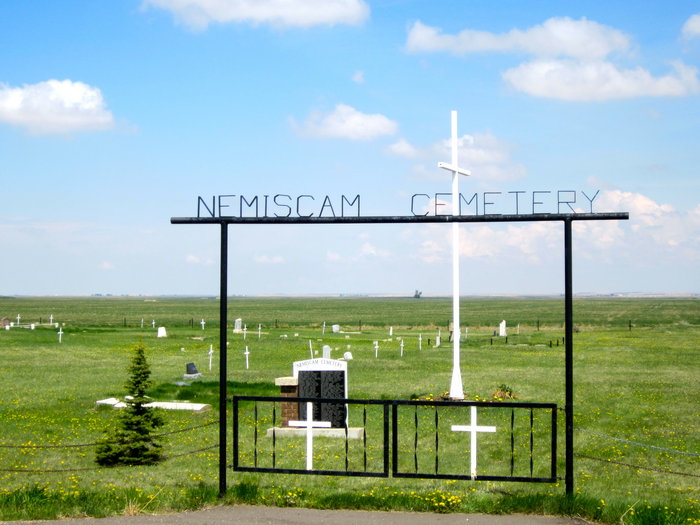
Nemiscam, or Nemiskam, is an unincorporated community within the County of Forty Mile No. 8 in southern Alberta, Canada. The community is about 5 km east of Foremost and west of Etzikom, Alberta on Highway 61 and is administered by the County of Forty Mile.

Courtesy of Medicine Hat and District Genealogical Society (MHDGS)

Deaths

Longevity

Address

Highway 501 (Red Coat Trail) and Range Road 103
Nearest Populated Centre: Nemiskam,
Province: Alberta

Map Location

Latitude, Longitude
49.46548, -111.28504

Map Location

Search for:
RESET
Surname Given Name Born Died Age Photo(s) Cemetery Obituary Narrative R Code

The 25 most common surnames found in this cemetery.

loader

The 25 most common given names found in this cemetery.

loader

Other Cemeteries

Zion Lutheran Cemetery Site 2 (Cypress County)

Twp 180 and Rge Rd 24 , Hilda , Alberta

Friedens Cemetery (Special Area No. 2)

Range Road 151 and Township Road 300 , Hanna , Alberta

Dalum Lutheran Church Cemetery (Wheatland County)

194002 Highway 69 , Dalum , Alberta

Trinity Mennonite Church Cemetery (Foothills County)

434 Ave E & 144 St E , Aldersyde , Alberta

Last Rest Mennonite Cemetery (Mountain View County)

28139 Twp Rd 320 , Didsbury , Alberta

Gnadenfeldt Baptist Cemetery (Cypress County)

Twp Rd 202 & Rge Rd 12 , Sandy Point , Alberta

Indian Battle Park Cemetery (City of Lethbridge)

200 Indian Battle Road South (Riverbottom) , Lethbridge , Alberta

Sunnyside Cemetery (Forty Mile County)

105040 Twp Rd 12 (Range Rd 150 & Twp Rd 12) , Aden , Alberta

Chevra Kadisha Erlton Street Cemetery (Calgary)

32 30th Ave SW , Calgary , Alberta

Crossfield Cemetery (Rocky View County)

10063 Township Rd 285 , Crossfield , Alberta

Discover Alberta Ancestors