Deaths

Longevity

Address

Range Road 131 S of Highway 544/876
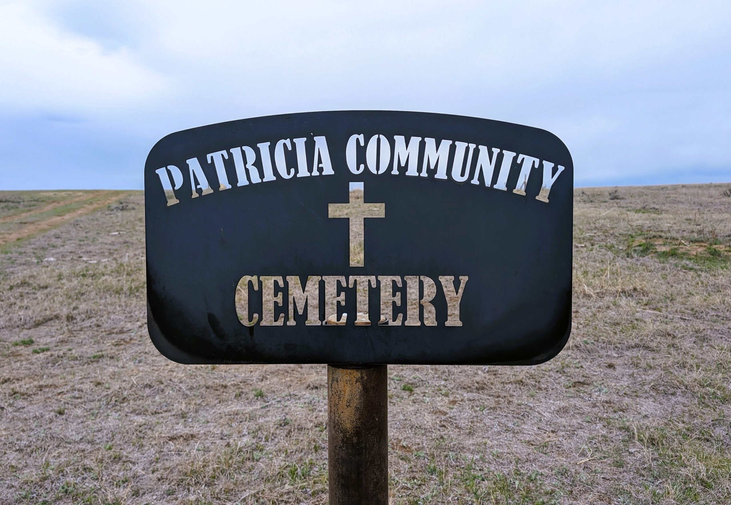
Nearest Populated Centre: Patricia,
Province: Alberta

Map Location

Latitude, Longitude
50.67356, -111.69045

Map Location

Search for:
RESET
Surname Given Name Born Died Age Photo(s) Cemetery Obituary Narrative R Code

The 25 most common surnames found in this cemetery.

loader

The 25 most common given names found in this cemetery.

loader

Other Cemeteries

Fath Hill Cemetery (Vulcan County)

Rge Rd 529 west of Hwy 23 , Champion , Alberta

Christ Lutheran Cemetery (Red Deer County)

Township Road 370 and Range Road 32 , Spruce View , Alberta

St. Rita's Cemetery (Rockyford, Wheatland County)

412 Serviceberry Trail , Rockyford , Alberta

Munson Cemetery (Starland County)

Highway 9 south of Munson , Munson , Alberta

Westview Cemetery (Grassy Lake, MD of Taber)

84028 Range Road 135 , Grassy Lake , Alberta

Kootenai Brown Cemetery (Waterton Lakes National Park)

Highway 5, Waterton Park , Waterton , Alberta

East Olds Baptist Cemetery (Mountain View County)

Highway 27 (east of Olds) , Olds , Alberta

Huber Family Cemetery (Cypress County)

Twp Rd 200 & Rge Rd 11 , Sandy Point , Alberta

Hilda Baptist Cemetery (Cypress County)

Twp Rd 174 & Range Rd 12 , Hilda , Alberta

Whitla Cemetery (Forty Mile County)

Range Road 84 north of Highway 3 , Whitla , Alberta

Discover Alberta Ancestors