Deaths

Longevity

Address

Range Road 131 S of Highway 544/876
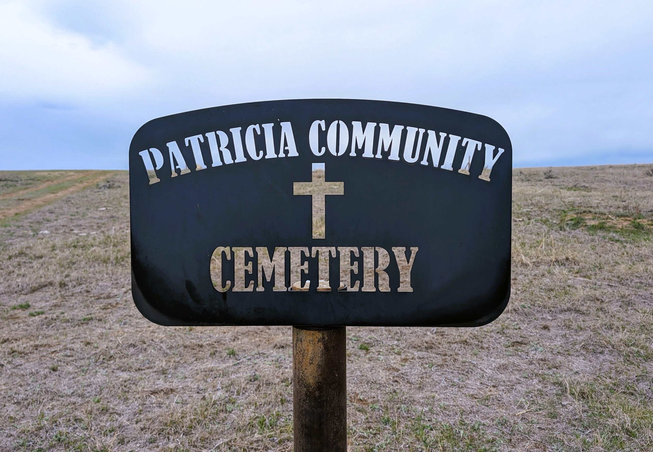
Nearest Populated Centre: Patricia,
Province: Alberta

Map Location

Latitude, Longitude
50.67356, -111.69045

Map Location

Search for:
RESET
Surname Given Name Born Died Age Photo(s) Cemetery Obituary Narrative R Code

The 25 most common surnames found in this cemetery.

loader

The 25 most common given names found in this cemetery.

loader

Other Cemeteries

Lobley Cemetery (Mountain View County)

Range Rd 61 south of Township Rd 344 , Sundre , Alberta

Lomond Cemetery

Highway 531 & Range Road 202 , Lomond , Alberta

Manyberries Cemetery (Forty Mile County)

Highway 61 (Red Coat Trail) and Range Road 53b , Manyberries , Alberta

Munson Cemetery (Starland County)

Highway 9 south of Munson , Munson , Alberta

Salem Evangelical Cemetery Site 2 (Newburg, Cypress County)

Township Road 102 & Range Road 23 , Newburg , Alberta

Torrington East Cemetery (Kneehill County)

330007A Hwy 805 , Torrington , Alberta

Pine Creek Cemetery (Foothills County)

220 Legacy Village Link SE , Calgary , Alberta

Knee Hill Valley Divide Cemetery (Red Deer County)

Twp Rd 350 west of Rge Rd 264 , Knee Hill Valley , Alberta

St. Peter's Lutheran Cemetery (Schuler, Cypress County)

Rge Rd 23 between Twp Rd 154 and Hwy 528 , Schuler , Alberta

Discover Alberta Ancestors