Deaths

Longevity

Address

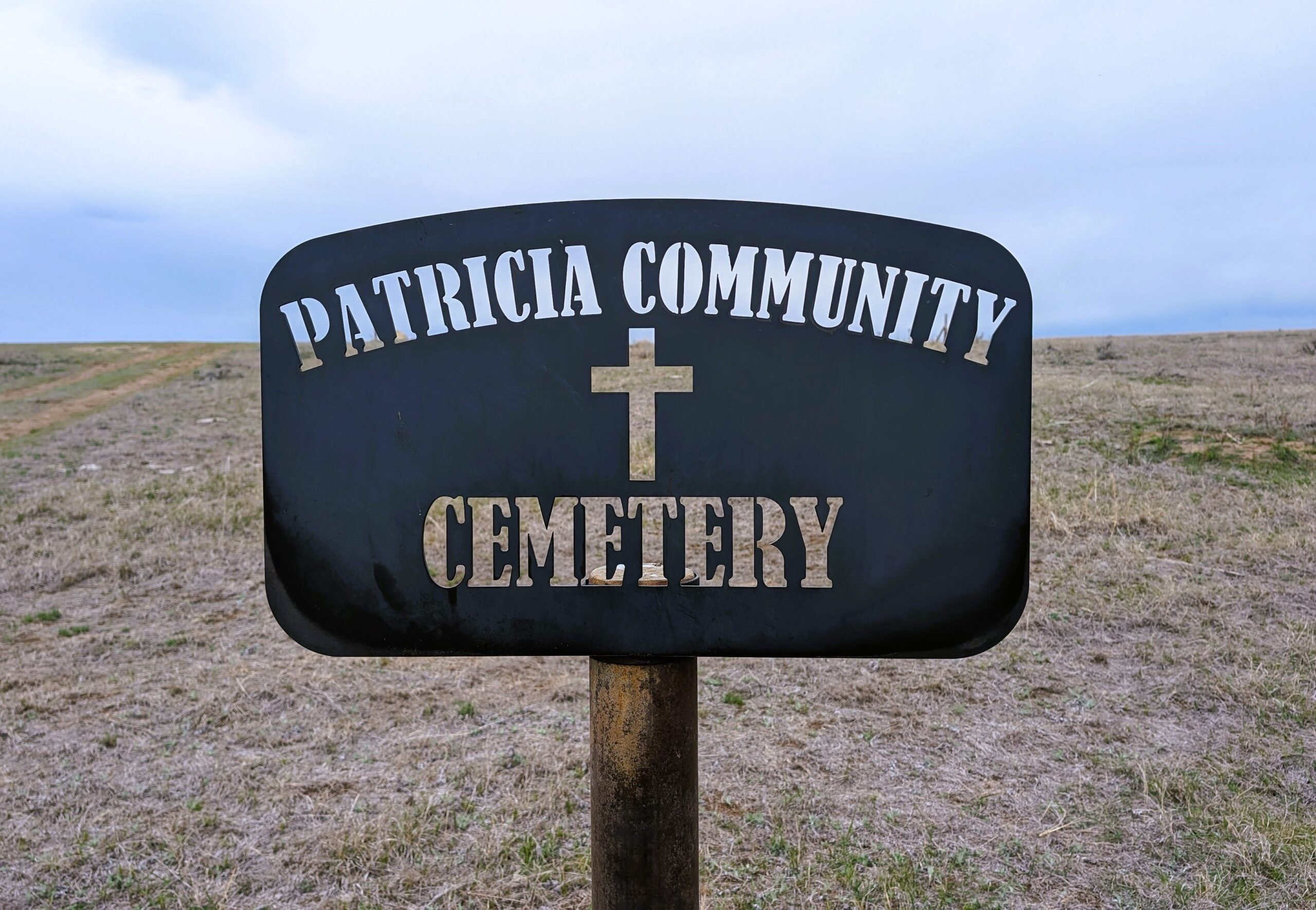
Range Road 131 S of Highway 544/876
Nearest Populated Centre: Patricia,
Province: Alberta

Map Location

Latitude, Longitude
50.67356, -111.69045

Map Location

Search for:
RESET
Surname Given Name Born Died Age Photos Cemetery R Code

The 25 most common surnames found in this cemetery.

loader

The 25 most common given names found in this cemetery.

loader

Other Cemeteries

Mayton Cemetery (Mountain View County)

27359 Twp Rd 333 , Mayton , Alberta

Glenwood Cemetery (Cardston County)

Highway 810 N of Range Road 52 , Highway 810 N of Range Road 52 , Alberta

Neuburg Church of God Cemetery (Cypress County)

Twp Rd 102 & Hwy 41 , Neuberg (south of Irvine) , Alberta

Cochrane Cemetery (Rocky View County)

408 Centre Ave N , Cochrane , Alberta

Indian Battle Park Cemetery (City of Lethbridge)

200 Indian Battle Road South (Riverbottom) , Lethbridge , Alberta

Adam Wolfer Family Cemetery (Cypress County)

Twp Rd 202 & Rge Rd 11 , Sandy Point , Alberta

Knee Hill Valley Divide Cemetery (Red Deer County)

Twp Rd 350 west of Rge Rd 264 , Knee Hill Valley , Alberta

Bottrel Cemetery (Rocky View County)

Range Rd 43 & Township Rd 283 , Bottrel , Alberta

St. Barnabas Anglican Memorial Garden (Calgary)

1407 - 7 Ave NW , Calgary , Alberta

Sacred Heart Cemetery (Faith, Forty Mile County)

Township Road 41 and Range Road 100 , Nemiskam , Alberta

Discover Alberta Ancestors