
Range Road 35 N of Township Road 592
The town of Barrhead was named after Barrhead, Scotland, the birthplace of one of the area’s early settlers, James McGuire. Barrhead played a significant role in the settlement of northwestern Alberta during the late 19th and early 20th centuries. It was a vital link in the trade route from Fort Edmonton to the Yukon, known as the Grizzly Trail. The town was originally established in 1906 and its position as a major trade center on the historic Klondike Trail gave it a significant role in the settlement of northwestern Alberta.
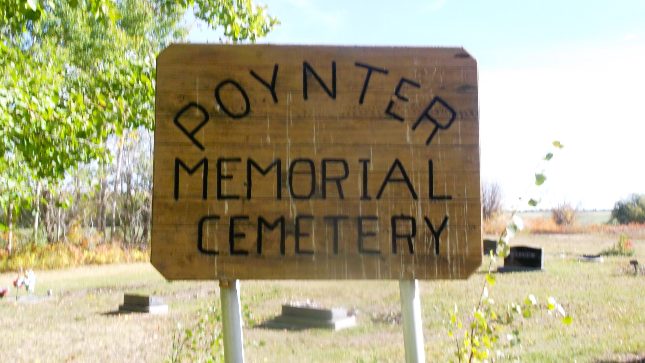
The Poynter Cemetery is located 2 miles south and 1 mile west of Barrhead. As of 2024, AFHS volunteers have documented 81 interments at this cemetery.
Address
Range Road 35 N of Township Road 592
Nearest Populated Centre: Barrhead,
Province: Alberta
Map Location
Latitude, Longitude
54.09522, -114.42622
Map Location
| Surname | Given Name | Born | Died | Age | Photos | Cemetery | R Code |
|---|---|---|---|---|---|---|---|
The 25 most common surnames found in this cemetery.

The 25 most common given names found in this cemetery.