
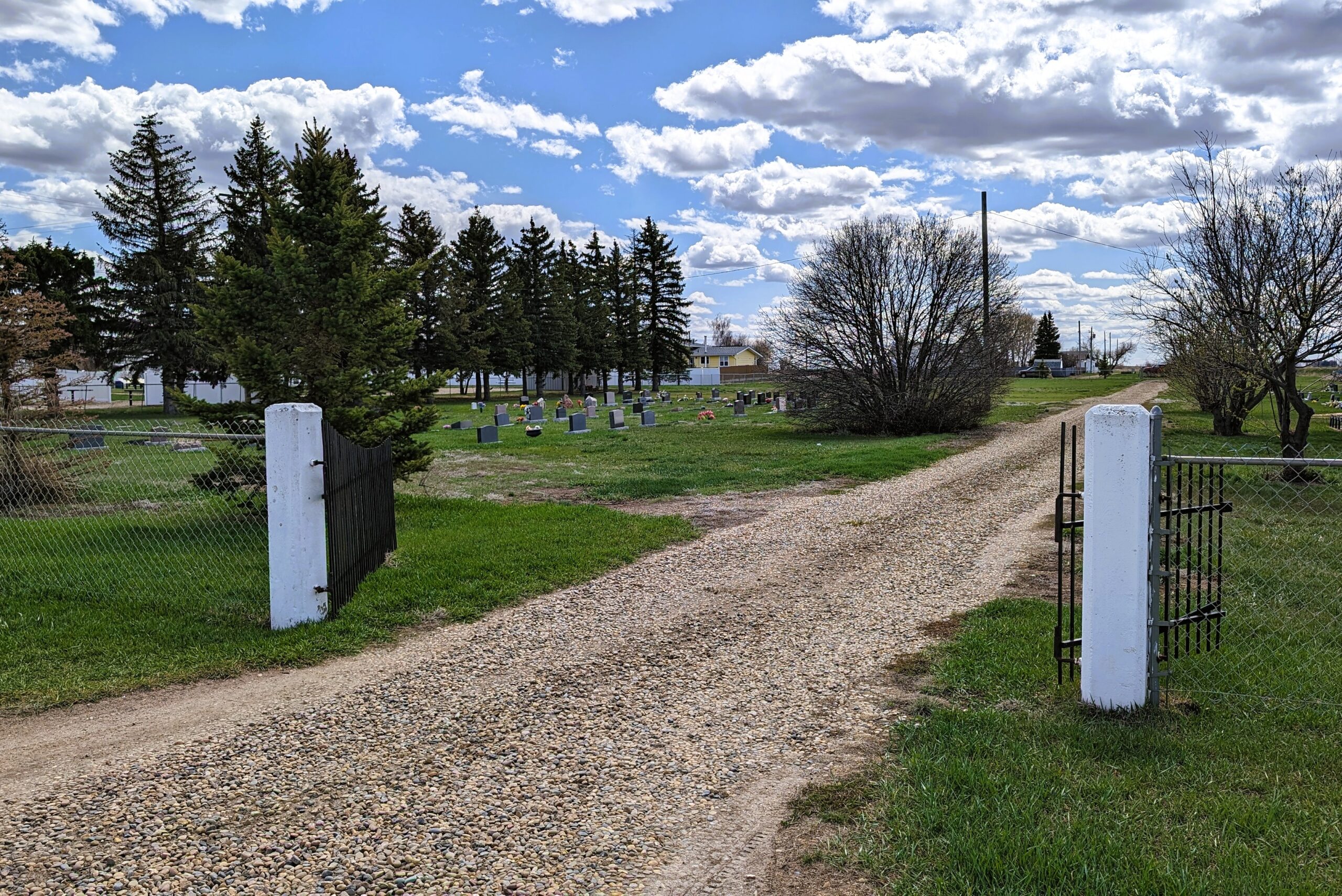
Railway Avenue
Rosemary is a village west of Secondary Highway 550, approximately 150 kilometeres southeast of Calgary. The village is named after Lady Rosemary Millicent Leveson-Gower (1893-1930). She was the daughter of the 4th Duke of Sutherland, who owned extensive property near Brooks, and the wife of William Humble Eric Ward, the 3rd Earl of Dudley. She was killed in an airplane crash in 1930.
Rosemary is situated on the Canadian Pacific’s “Royal Line”, where railway points are named for royalty and nobility. Nearby Millicent was named for Lady Rosemary Millicent’s mother, Millicent Fanny St.Clair-Erskine. Other places along the line include Bassano, Empress, Iddlesleigh, Patricia, and Princess. Rosemary’s post office opened in 1919, and it became a village in 1951.
Address
Railway Avenue
Nearest Populated Centre: Rosemary,
Province: Alberta
Map Location
Latitude, Longitude
50.75825, -112.09279
Map Location
| Surname | Given Name | Born | Died | Age | Photos | Cemetery | R Code |
|---|---|---|---|---|---|---|---|
The 25 most common surnames found in this cemetery.

The 25 most common given names found in this cemetery.