
5920 13 Street North
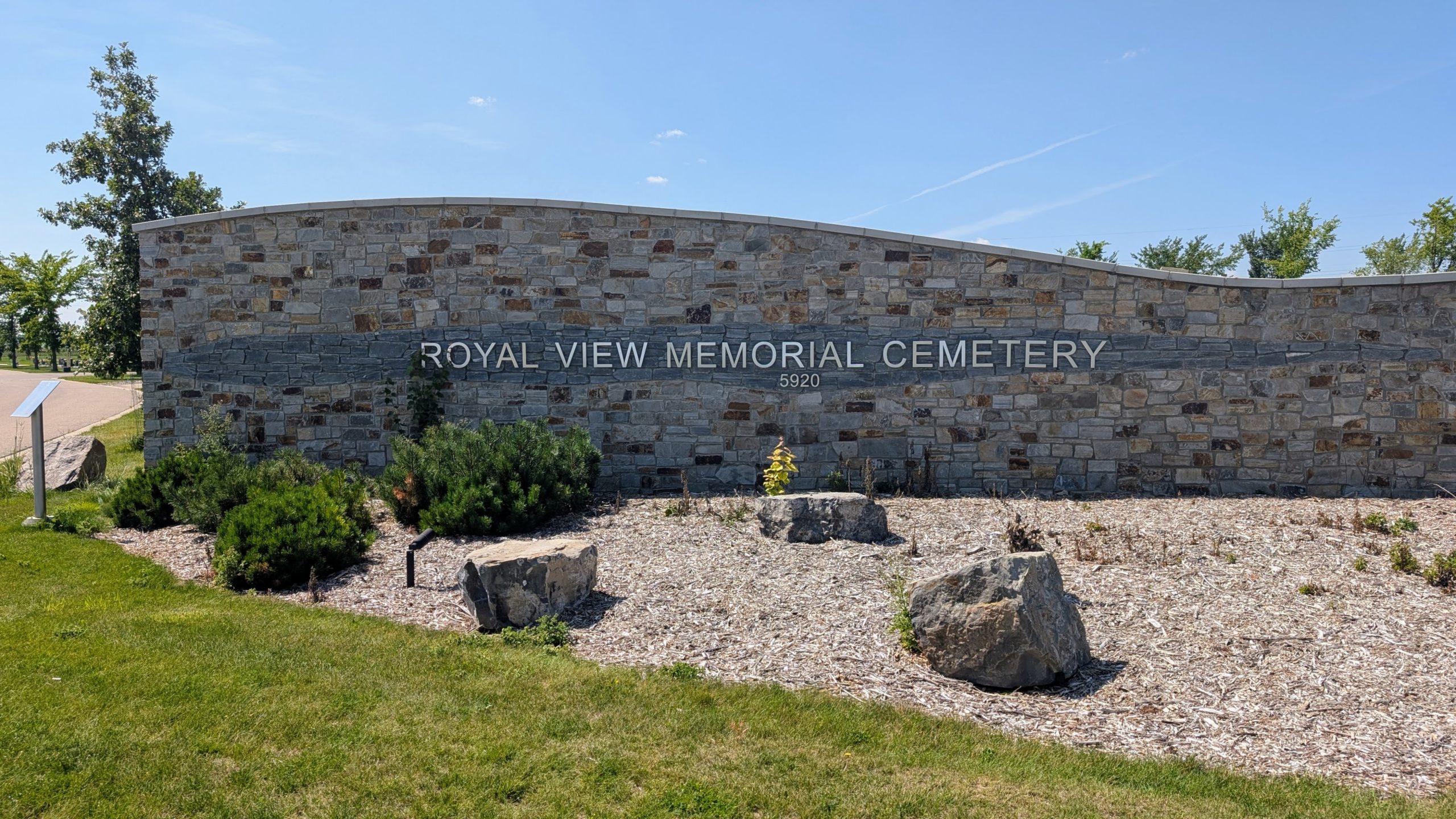
Royal View Memorial Cemetery, located on 13 Street North in Lethbridge, Alberta, is the newest of the city’s municipal cemeteries and reflects both the region’s past and its evolving attitudes toward remembrance and burial. Officially named on October 4, 2011, the inspiration for Royal View reaches back to an early 20th century mining settlement that once existed near the site. The nearby town of Royal View, (also known historically as Royal City or Coal City),was established around 1908 and reached a population of about 400 by 1910, before ultimately fading away by the 1920s. It shared its name with local coal mining operations, including the Royal View Mine and Royal Collieries Ltd., which operated through various periods until the mid 20th century.
Address
5920 13 Street North
Nearest Populated Centre: Lethbridge,
Province: Alberta
Map Location
Latitude, Longitude
49.75406, -112.82546
Map Location
| Surname | Given Name | Born | Died | Age | Photos | Cemetery | R Code |
|---|---|---|---|---|---|---|---|
The 25 most common surnames found in this cemetery.

The 25 most common given names found in this cemetery.