
26531-26501 Twp Rd 174, SW of Brant; NE corner of Rge Rd 270 & Twp Rd 174
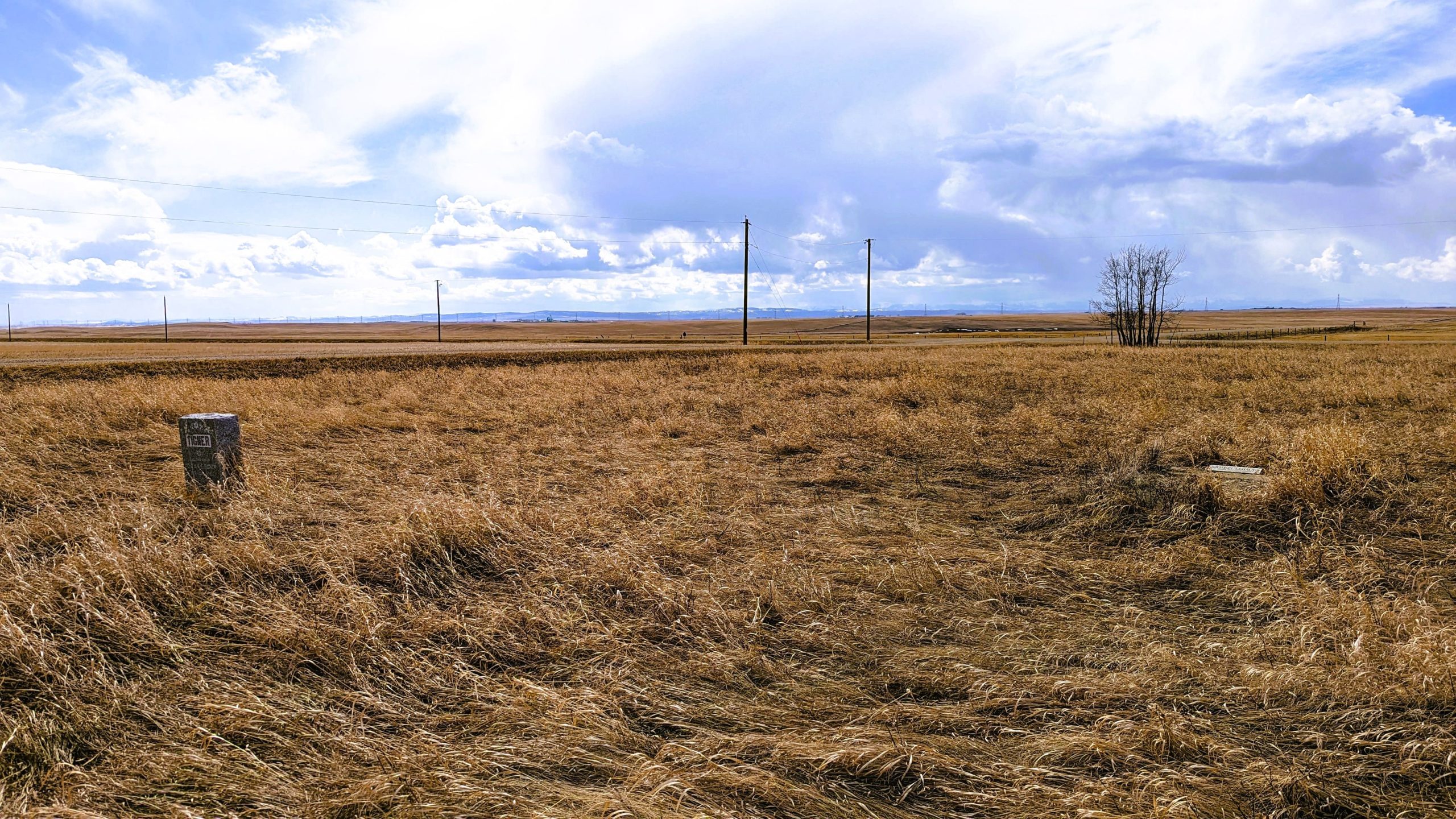
Sharon Cemetery is a very small cemetery located a 10 minute drive Southwest of the Hamlet of Brant. It has only 10 burials and only two headstones visible.
To reach Sharon Cemetery, from Secondary Highway #804 turn west onto Township Road #174 to the intersection of Range Road #270. The cemetery is located on 658 Ave East just east of Range Road #270. It is at the corner of Range Road #270 and Township Road #174 and is extremely difficult to identify as it is completely overgrown.
Sharon Cemetery was started by the German Baptist Brethren or “Dunkards”.
Address
26531-26501 Twp Rd 174, SW of Brant; NE corner of Rge Rd 270 & Twp Rd 174
Nearest Populated Centre: SW of Brant,
Province: Alberta
Map Location
Latitude, Longitude
50.45582, -113.57459
Map Location
| Surname | Given Name | Born | Died | Age | Photos | Cemetery | R Code |
|---|---|---|---|---|---|---|---|
The 25 most common surnames found in this cemetery.

The 25 most common given names found in this cemetery.