
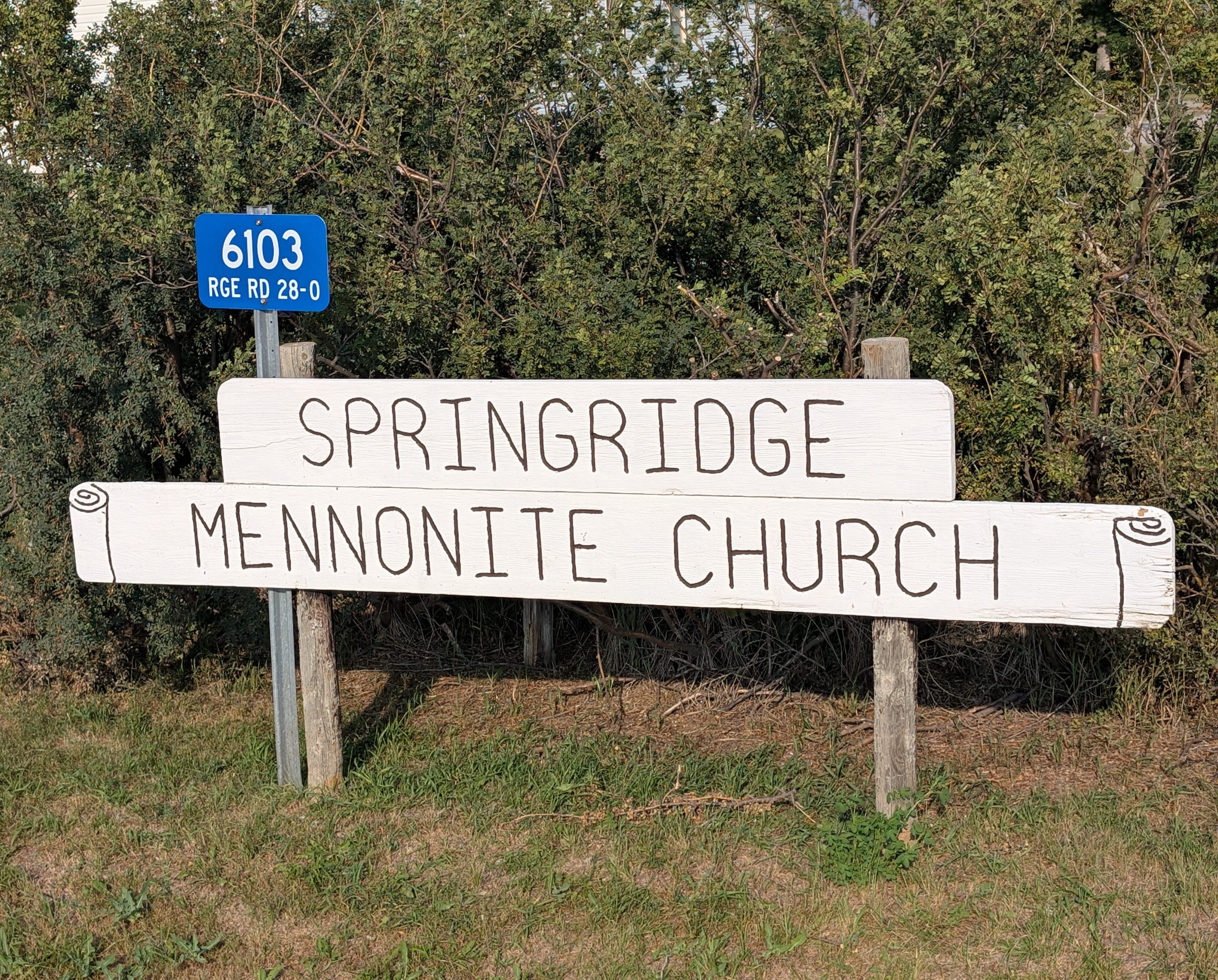
6103 Range Road 28-0
The church congregation associated with the cemetery began meeting around 1927, and was formally organized on July 29, 1928 under the name Blumenthaler Mennonite Church. The settlement of Mennonite families in the area commenced in 1926 – 1928, as immigrants, many of them from the Soviet Union region (Russian Mennonite background), arrived to farm the fertile land on the east side of the Rockies.
In 1934 the congregation built a church sanctuary, using salvaged boards and materials from a hotel in Fort Macleod. Over time the congregation changed its name to Springridge Mennonite Church in 1969.
While the precise date of establishment of the Springridge Cemetery is not clear, it is identified as being “beside the Springridge Mennonite Church, in the country, east of the town of Pincher Creek.” The church was organized in 1928 and the sanctuary erected by 1934.
The cemetery functions as the final resting place for many of those early Mennonite families who settled the area, ran farms, and worshipped at the church. It stands as a quiet historical record of the lives and faith of the community.
The cemetery reflects not only individual memorials but the collective story of a faith-based rural settlement in southern Alberta.
The fact that the congregation built the church out of salvaged materials and maintained a modest but enduring presence shows the tight-knit and resourceful character of the community. The cemetery therefore offers a terrain where family histories, immigration stories, faith transitions (such as the shift from German to English language worship in the 1950s) and rural life converge.
Address
6103 Range Road 28-0
Nearest Populated Centre: Springridge,
Province: Alberta
Map Location
Latitude, Longitude
49.4526, -113.63262
Map Location
| Surname | Given Name | Born | Died | Age | Photos | Cemetery | R Code |
|---|---|---|---|---|---|---|---|
The 25 most common surnames found in this cemetery.

The 25 most common given names found in this cemetery.