Deaths

Longevity

Address

Range Rd 282, north of Hwy 533
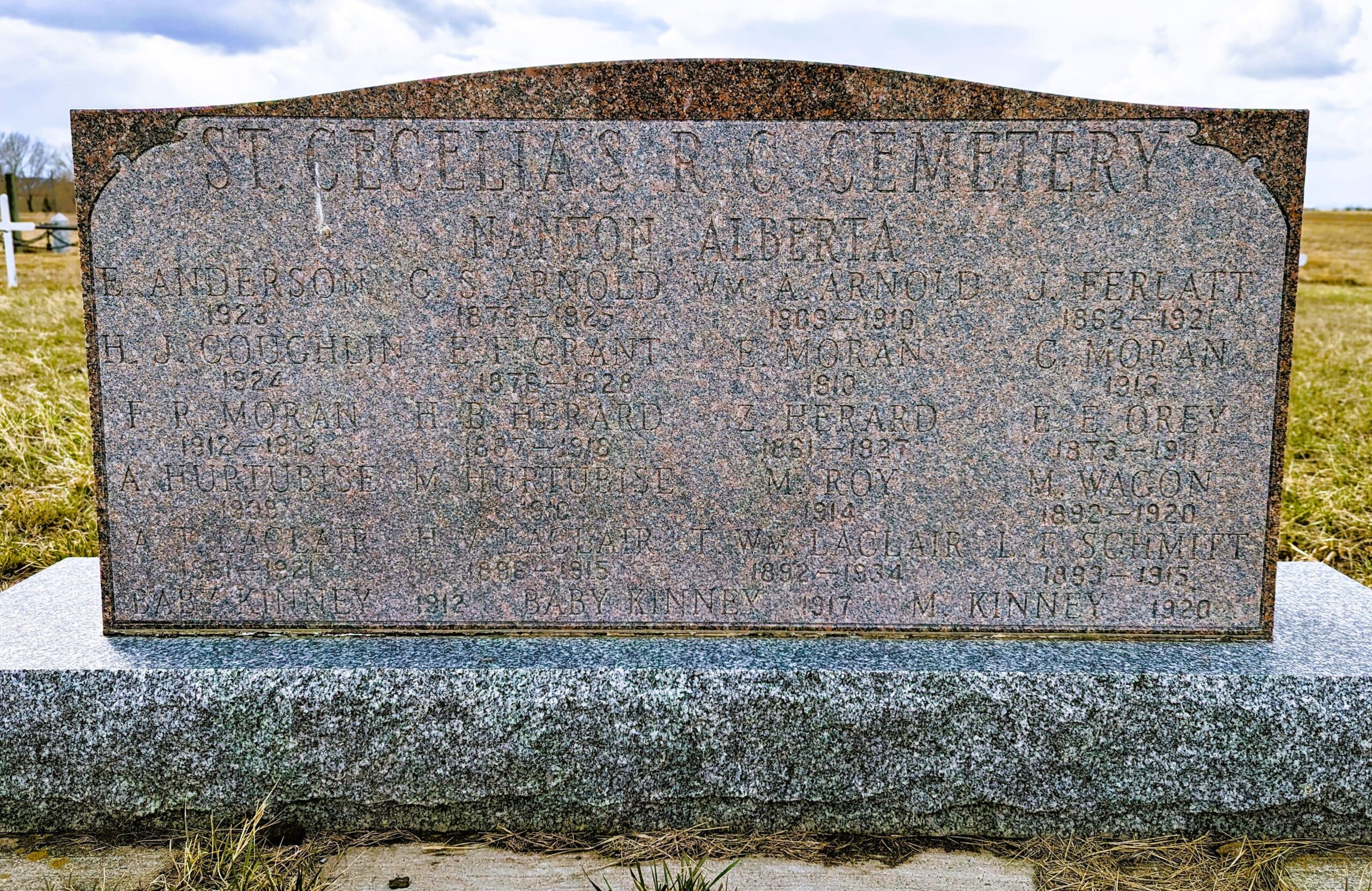
Nearest Populated Centre: Nanton,
Province: Alberta

Map Location

Latitude, Longitude
50.35880, -113.75916

Map Location

Search for:
RESET
Surname Given Name Born Died Age Photo(s) Cemetery Obituary Narrative R Code

The 25 most common surnames found in this cemetery.

loader

The 25 most common given names found in this cemetery.

loader

Other Cemeteries

New Home Cemetery (Forty Mile County)

Township Road 63 and Range Road 50A , Manyberries , Alberta

Wayne Community Cemetery (Town Of Drumheller)

Excelsior Avenue , Wayne , Alberta

Sarcee Butte Cemetery (Kneehill County)

311012 Range Road 221 , Three Hills , Alberta

Sutherland Cemetery (Newell County)

Range Road 141 and Township Road 191 , Brooks , Alberta

Crossfield Cemetery (Rocky View County)

10063 Township Rd 285 , Crossfield , Alberta

Chevra Kadisha Erlton Street Cemetery (Calgary)

32 30th Ave SW , Calgary , Alberta

Fishburn United Church Cemetery (MD of Pincher Creek)

28232 Twp Rd 52 , Fishburn , Alberta

Mountain View Cemetery (Banff National Park)

1029 Banff Avenue , Banff , Alberta

St. Anne's Cemetery (Josephburg, Cypress County)

East of Range Road 30, south of Township Road 94 , Josephburg , Alberta

Bow City Cemetery (Newell County)

Rge Rd 165 north of Hwy 539 , Brooks , Alberta

Discover Alberta Ancestors