Deaths

Longevity

Address

Secondary Highway 583 just west of Three Hills
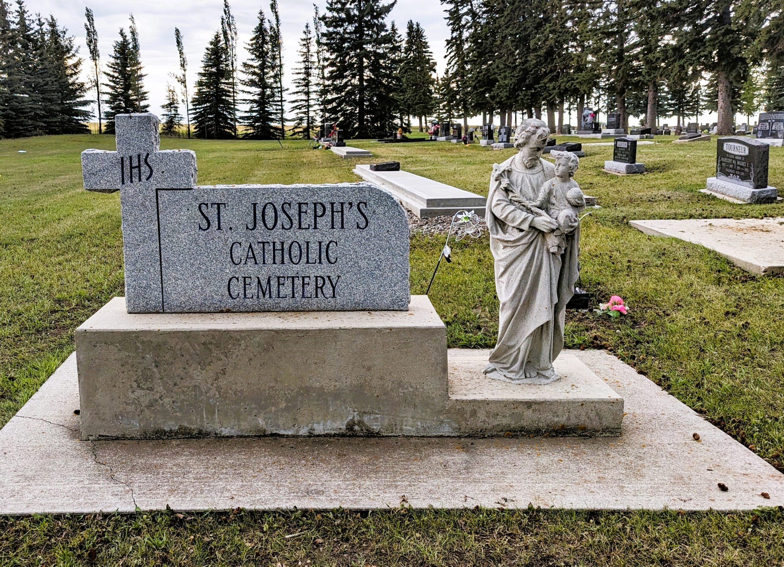
Nearest Populated Centre: Three Hills,
Province: Alberta

Map Location

Latitude, Longitude
51.70685, -113.28227

Map Location

Search for:
RESET
Surname Given Name Born Died Age Photo(s) Cemetery Obituary Narrative R Code

The 25 most common surnames found in this cemetery.

loader

The 25 most common given names found in this cemetery.

loader

Other Cemeteries

New Home Cemetery (Forty Mile County)

Township Road 63 and Range Road 50A , Manyberries , Alberta

Wisdom Bethel Evangelical Cemetery (Cypress County)

Range Rd 60 & Twp Rd 90 , Wisdom , Alberta

Pleasant View Cemetery (Forty Mile County)

8 km west of junction of Highway 501 and Range Road 63 , Manyberries , Alberta

Dalum Lutheran Church Cemetery (Wheatland County)

194002 Highway 69 , Dalum , Alberta

Ferrybank Cemetery (Ponoka County)

Highway 795 and Range Road 251 , Ponoka , Alberta

Sunnynook Cemetery (Special Area No. 2)

Township Road 272 E of Range Road 124A , Hanna , Alberta

Russian Colony Cemetery (Ponoka County)

Highway 771 & Township Road 443 , Homeglen (or Home Glen) , Alberta

Gleichen Cemetery (Wheatland County)

Highway 547 north of town , Gleichen , Alberta

Sarcee Butte Cemetery (Kneehill County)

311012 Range Road 221 , Three Hills , Alberta

Discover Alberta Ancestors