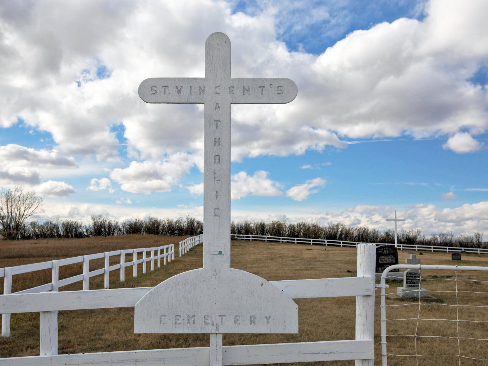
St. Vincent Catholic Cemetery is located inside the town of Stavely. As of 2022, there were 94 interments. The town of Stavely is 78 km north-west of Lethbridge and was originally known as Oxley, the same name as the Ranching Company that held the leases on vast tracts of the surrounding land in the 1880’s. Alexander Staveley Hill, from Wolverhampton, England, was the founder of the Oxley Ranching Company and the name of the community was eventually named in his honour, but the second “e” was dropped when the town was incorporated in 1912.

Deaths

Longevity

Address

Range Rd 274
Nearest Populated Centre: Stavely,
Province: Alberta

Map Location

Latitude, Longitude
50.17195, -113.64171

Map Location

Search for:
      RESET

      The 25 most common surnames found in this cemetery.

      loader

      The 25 most common given names found in this cemetery.

      loader

      Other Cemeteries

      St. Joseph's Cemetery (Foremost, Forty Mile County)

      Township Road 72 and Range road 113 , Foremost , Alberta

      Bow City Cemetery (Newell County)

      Rge Rd 165 north of Hwy 539 , Brooks , Alberta

      St. Mary's Cemetery (Calgary)

      3157 Erlton St SW , Calgary , Alberta

      St. Andrews Cemetery (Cochrane, Rocky View County)

      427 Centre Ave N , Cochrane , Alberta

      Sacred Heart Cemetery (Strathmore, Wheatland County)

      616 Westridge Rd , Strathmore , Alberta

      Comrey Cemetery (Forty Mile County)

      Range Rd 62 north of Twp Road 22 , Manyberries , Alberta

      Lutheran Cemetery (Schuler, Cypress County)

      Twp Rd 161 & Rge Rd 10 , Schuler , Alberta

      Didsbury Cemetery (Mountain View County)

      18 Street , Didsbury , Alberta

      Knee Hill Valley Divide Cemetery (Red Deer County)

      Twp Rd 350 west of Rge Rd 264 , Knee Hill Valley , Alberta

      Rosebud Cemetery (Wheatland County)

      Twp Rd 272 , Rosebud , Alberta

      Discover Alberta Ancestors