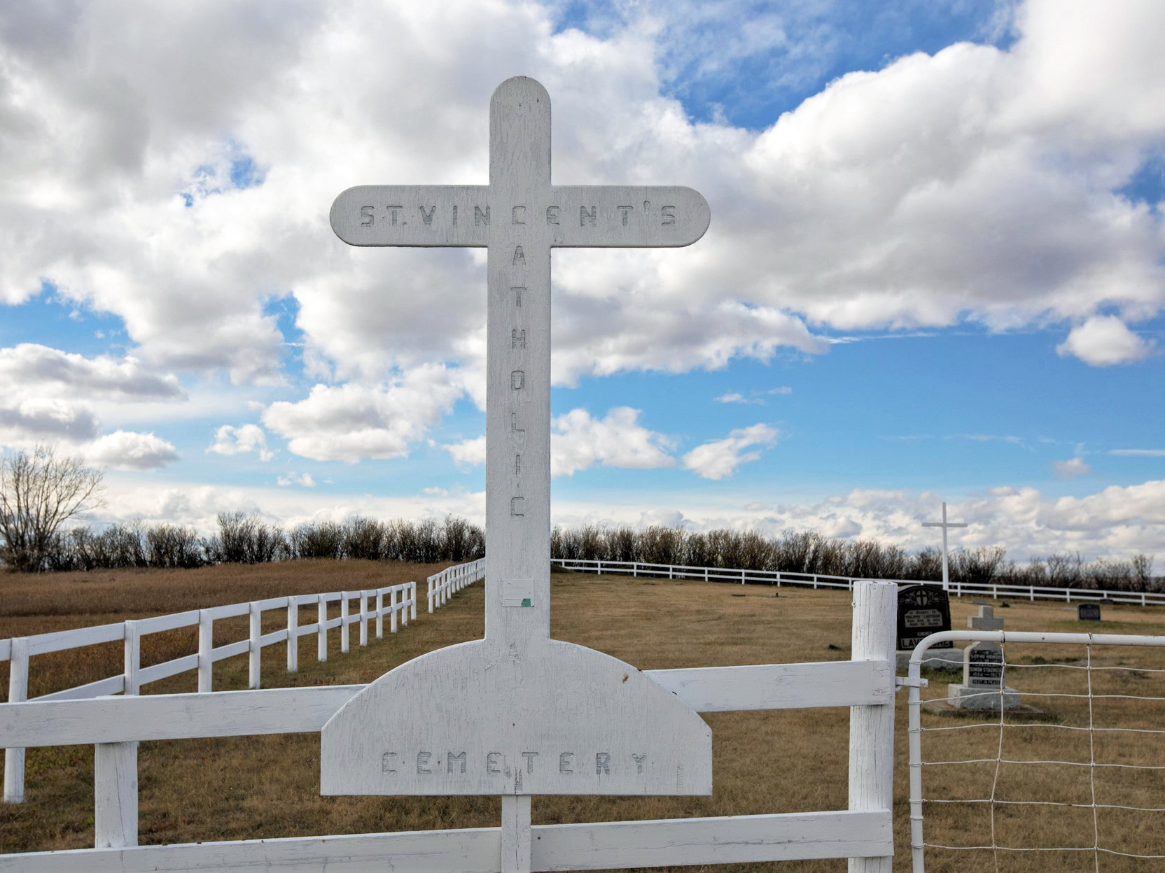
St. Vincent Catholic Cemetery is located inside the town of Stavely. As of 2022, there were 94 interments. The town of Stavely is 78 km north-west of Lethbridge and was originally known as Oxley, the same name as the Ranching Company that held the leases on vast tracts of the surrounding land in the 1880’s. Alexander Staveley Hill, from Wolverhampton, England, was the founder of the Oxley Ranching Company and the name of the community was eventually named in his honour, but the second “e” was dropped when the town was incorporated in 1912.

Deaths

Longevity

Address

Range Rd 274
Nearest Populated Centre: Stavely,
Province: Alberta

Map Location

Latitude, Longitude
50.17195, -113.64171

Map Location

Search for:
RESET
Surname Given Name Born Died Age Photos Cemetery R Code

The 25 most common surnames found in this cemetery.

loader

The 25 most common given names found in this cemetery.

loader

Other Cemeteries

Will Cemetery (Cypress County)

Township Road 153 and Range Road 11 , Schuler , Alberta

Elinor Cemetery (Lethbridge County)

Rge Rd 520 west of Twp Rd 23 , Barons , Alberta

Coleman Union Cemetery (Crowsnest Pass)

27 Ave & 28 Ave , Coleman , Alberta

Sundre & District Cemetery (Mountain View County)

Range Road 60 , Sundre , Alberta

Burlington Cemetery (Forty Mile County)

Twp Rd 44 & Range Rd 110 , Foremost , Alberta

Walsh Community Cemetery (Cypress County)

Township Road 114 and Range Road 13 , Walsh , Alberta

Duchess Cemetery (Newell County)

204075 Range Road 144 , Duchess , Alberta

Nemiscam Cemetery (Forty Mile County)

Highway 501 (Red Coat Trail) and Range Road 103 , Nemiskam , Alberta

Hussar Cemetery (Wheatland County)

Highway 561 (east of Hussar) , Hussar , Alberta

Lutheran Cemetery (Schuler, Cypress County)

Twp Rd 161 & Rge Rd 10 , Schuler , Alberta

Discover Alberta Ancestors