Deaths

Longevity

Address

Highway 840 & Cemetery Road
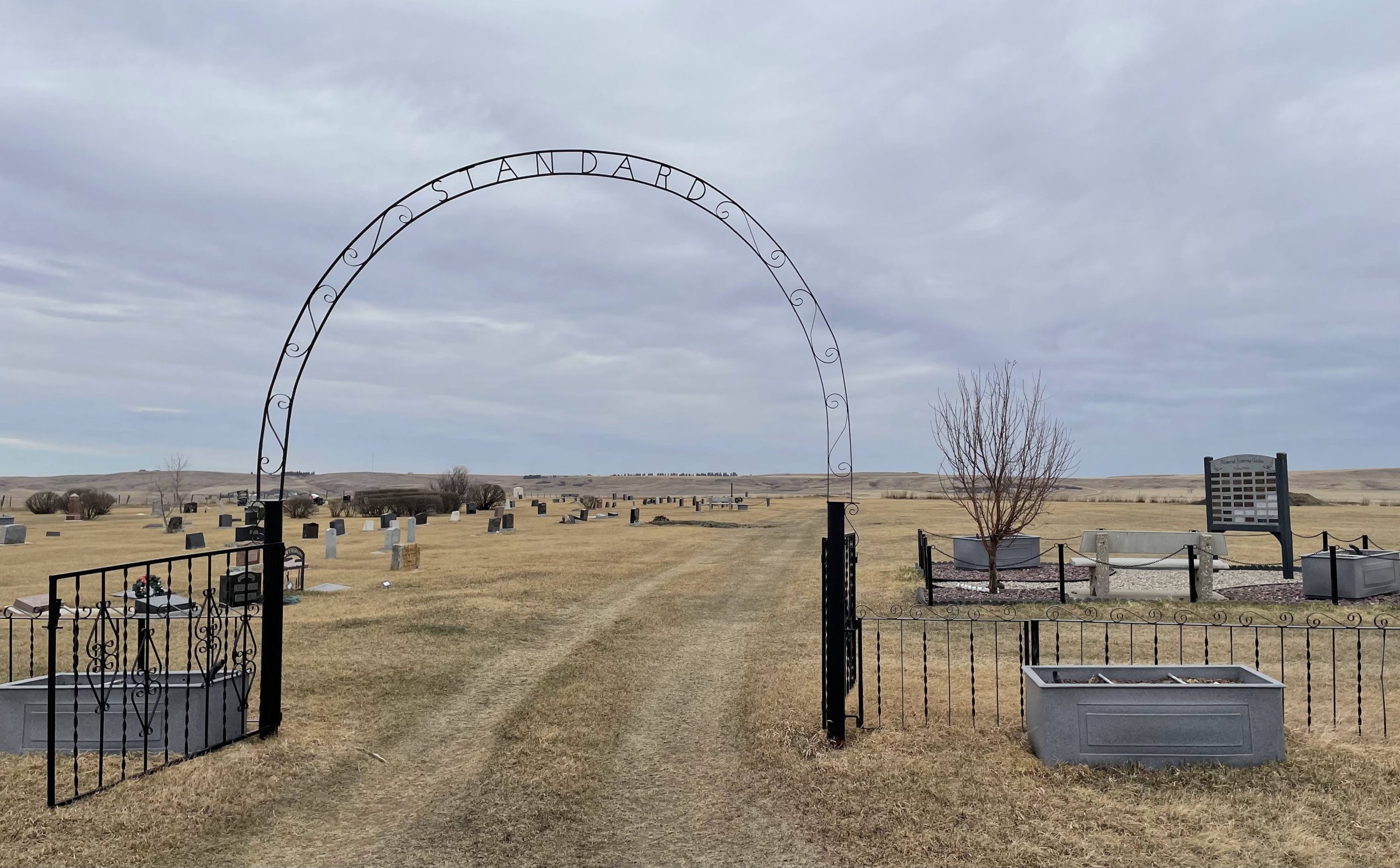
Nearest Populated Centre: Standard,
Province: Alberta

Map Location

Latitude, Longitude
51.11837, -112.98699

Map Location

Search for:
RESET
Surname Given Name Born Died Age Photo(s) Cemetery Obituary Narrative R Code

The 25 most common surnames found in this cemetery.

loader

The 25 most common given names found in this cemetery.

loader

Other Cemeteries

Hill Spring Cemetery (Cardston County)

Township Rd 43A , Hill Spring , Alberta

St. Stephen's Cemetery (Cardston County)

Range Road 262 N of Township Road 20A , Aetna , Alberta

Blairmore New Union Cemetery (Crowsnest Pass)

25th Ave , Blairmore , Alberta

Torrington Zion Lutheran Cemetery (Kneehill County)

322043 Rge Rd 261 , Torrington , Alberta

Jenner Cemetery (Special Area No. 2)

Highway 884 and Highway 555 , Jenner , Alberta

Irricana Town Cemetery (Rocky View County)

Cemetery Rd & Hendricks Dr , Irricana , Alberta

Poplar Valley Cemetery (Wetaskiwin County)

462061 Range Road 43A , Winfield , Alberta

Rosebud Cemetery (Wheatland County)

Twp Rd 272 , Rosebud , Alberta

Discover Alberta Ancestors