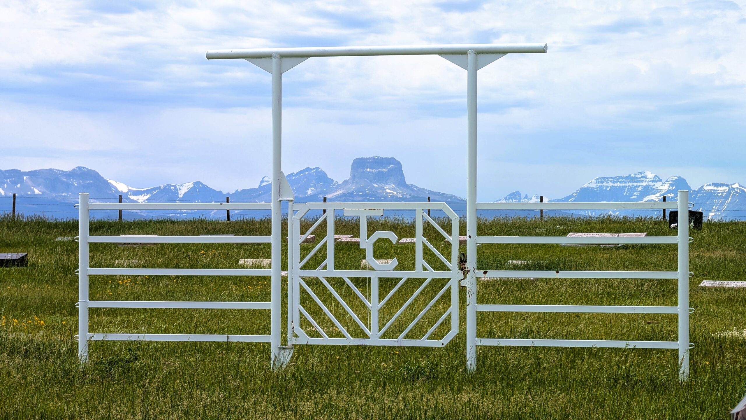
This one-time village, established in 1900 was named for James H. Taylor, one of three brothers, two of whom were among the first settlers in the area. He later became the first postmaster.

Source: Place Names of Alberta Volume II Southern Alberta, Edited and introduce by Aphrodite Karamitsanis, Published 1992 Alberta Culture and Multiculralism

Deaths

Longevity

Address

Range Road 242A S of Township Road 14
Nearest Populated Centre: Taylorville,
Province: Alberta

Map Location

Latitude, Longitude
49.04981, -113.1404

Map Location

Search for:
RESET
Surname Given Name Born Died Age Photos Cemetery R Code

The 25 most common surnames found in this cemetery.

loader

The 25 most common given names found in this cemetery.

loader

Other Cemeteries

Ferrybank Cemetery (Ponoka County)

Highway 795 and Range Road 251 , Ponoka , Alberta

St. Peter's Lutheran Cemetery (Schuler, Cypress County)

Rge Rd 23 between Twp Rd 154 and Hwy 528 , Schuler , Alberta

Veach Family Cemetery (Stettler County)

Township Road 390 & Range Road 205 , Erskine , Alberta

Comrey Cemetery (Forty Mile County)

Range Rd 62 north of Twp Road 22 , Manyberries , Alberta

Caldwell - Belly River Cemetery (Cardston County)

Highway 800 S of Highway 505 , Mountain View , Alberta

Carstairs Cemetery (Mountain View County)

Gough Road , Carstairs , Alberta

Evangelical Lutheran Church of Zion (Forty Mile County)

Township Road 62 and Range Road 55, east of Highway 889 , Manyberries , Alberta

Cavanaugh Family Cemetery (Cypress County)

Twp Rd 202 & Rge Rd 12 , Sandy Point , Alberta

Indian Battle Park Cemetery (City of Lethbridge)

200 Indian Battle Road South (Riverbottom) , Lethbridge , Alberta

Discover Alberta Ancestors