This cemetery is also known as Evangelical Lutheran Church of Canada.

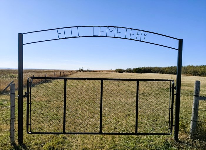
The Manyberries, Evangelical Lutheran Church of Zion Cemetery is located on SE18-06-5-W4 on Township Road #62 at its intersection with Range Road #55, east of Secondary Highway #889.

Courtesy of Medicine Hat and District Genealogical Society (MHDGS)

Deaths

Longevity

Address

Township Road 62 and Range Road 55, east of Highway 889
City: Manyberries,
Province: Alberta

Map Location

Latitude, Longitude
49.46524, -110.65716

Map Location

Search for:
RESET
Surname Given Name Born Died Age Cemetery Location Obituary Narrative R Code

The 25 most common surnames found in this cemetery.

loader

The 25 most common given names found in this cemetery.

loader

Other Cemeteries

Coffin Handle Butte Cemetery (Vulcan County)

top of Coffin Handle Butte east of Milo AB , Milo , Alberta

Hutterian Brethren of Elkwater (Cypress County)

Township Road 100 and Range Road 22 , Elkwater , Alberta

Canmore Old Cemetery (MD of Bighorn)

1250 Palliser Trail , Canmore , Alberta

Whitla Cemetery (Forty Mile County)

Range Road 84 north of Highway 3 , Whitla , Alberta

Namaka Mennonite Cemetery (Wheatland County)

Namaka, Strathmore Census Division , Carseland , Alberta

Highland Cemetery (Vulcan County)

Twp Rd 24 south of Rge Rd 542 , Vulcan , Alberta

Knee Hill Valley Divide Cemetery (Red Deer County)

Twp Rd 350 west of Rge Rd 264 , Knee Hill Valley , Alberta

St. Rita's Cemetery (Rockyford, Wheatland County)

412 Serviceberry Trail , Rockyford , Alberta

Union Cemetery (Calgary)

27 Ave & Spiller Rd SE , Calgary , Alberta

St. Joseph's Cemetery (Schuler, Cypress County)

Twp Rd 162 and Rge Rd 13 , Schuler , Alberta

Discover Alberta Ancestors