
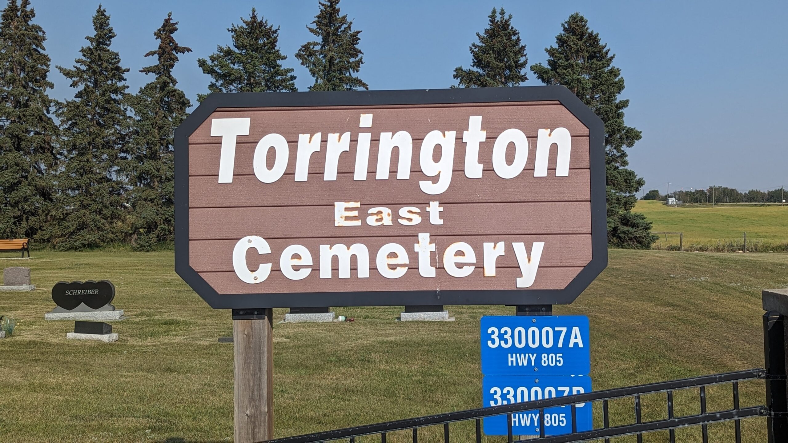
330007A Hwy 805
Torrington is a hamlet on Highway 27, approximately 26 kilometres west northwest of Three Hills. The Canadian Pacific Railway named this hamlet, possibly for the market town in Devon, England, where the renowned Rosemoor Gardens are a major tourist attraction. Since it opened in 1996, Torrington has been known for its Gopher Hole Museum, where anthropomorphic dioramas showcase the rodent that farmers love to hate. Even the fire hydrants in Torrington are painted to look like Richardson’s groundsquirrels, and a 10’ tall statute of the village mascot Clem T. Go-fur, attracts visitors from the highway. Torrington became a village in 1964, but has since reverted to hamlet status.
Address
330007A Hwy 805
Nearest Populated Centre: Torrington,
Province: Alberta
Map Location
Latitude, Longitude
51.79571, -113.59511
Map Location
| Surname | Given Name | Born | Died | Age | Photos | Cemetery | R Code |
|---|---|---|---|---|---|---|---|
The 25 most common surnames found in this cemetery.

The 25 most common given names found in this cemetery.