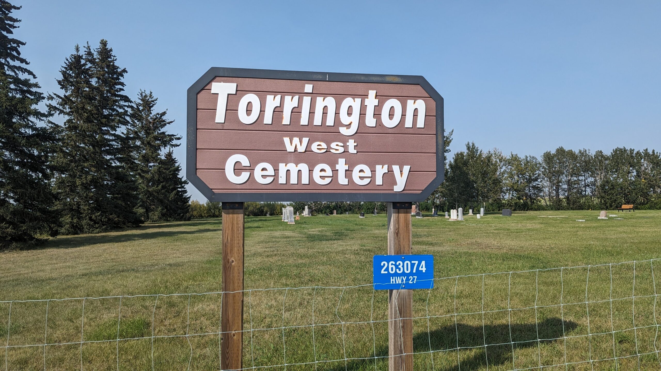
Deaths

Longevity

Address

263074 Hwy 27
Nearest Populated Centre: Torrington,
Province: Alberta

Map Location

Latitude, Longitude
51.79474, -113.64001

Map Location

Search for:
RESET
Surname Given Name Born Died Age Photos Cemetery R Code

The 25 most common surnames found in this cemetery.

loader

The 25 most common given names found in this cemetery.

loader

Other Cemeteries

Bethel Carbon Cemetery (Kneehill County)

Twp Rd 284 & Twp Rd 836 , Carbon , Alberta

Elinor Cemetery (Lethbridge County)

Rge Rd 520 west of Twp Rd 23 , Barons , Alberta

Brant Cemetery (Vulcan County)

Hwy 804 south of Twp Rd Twp Rd 182 , Brant , Alberta

Russian Colony Cemetery (Ponoka County)

Highway 771 & Township Road 443 , Homeglen (or Home Glen) , Alberta

Chinook Cemetery (Special Area No. 3)

Range Road 74 and Township Road 290 , Chinook (NW of Cereal) , Alberta

Foremost Cemetery (Forty Mile County)

Township Road 61 and Range Road 115 , Foremost , Alberta

Champion Cemetery (Vulcan County)

1 St South , Champion , Alberta

Peace Lutheran Cemetery (Cypress County)

Twp Rd 162 and Rge Rd 14 , Schuler , Alberta

Christian Community of Universal Brotherhood Cemetery (Vulcan County)

Rge Rd 225 south of Twp Rd 205 , Arrowwood , Alberta

Discover Alberta Ancestors