Deaths

Longevity

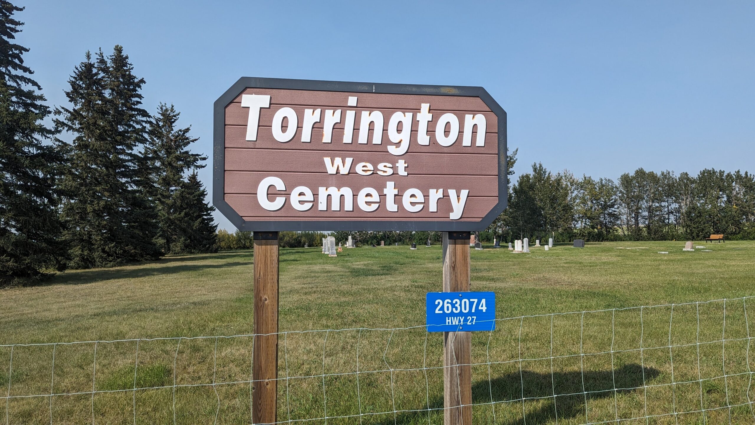
Address

263074 Hwy 27
Nearest Populated Centre: Torrington,
Province: Alberta

Map Location

Latitude, Longitude
51.79474, -113.64001

Map Location

Search for:
RESET
Surname Given Name Born Died Age Photo(s) Cemetery Obituary Narrative R Code

The 25 most common surnames found in this cemetery.

loader

The 25 most common given names found in this cemetery.

loader

Other Cemeteries

Beiseker Zion United Cemetery (Rocky View County)

Range Rd 272 west of Range Rd 253 , Beiseker , Alberta

Namaka Mennonite Cemetery (Wheatland County)

Namaka, Strathmore Census Division , Carseland , Alberta

Manyberries Cemetery (Forty Mile County)

Highway 61 (Red Coat Trail) and Range Road 53b , Manyberries , Alberta

St. Cecilia's Cemetery (Nanton, MD of Willow Creek)

Range Rd 282, north of Hwy 533 , Nanton , Alberta

St. Paul's Lutheran Cemetery (Special Area No. 2)

Range Road 162 and Township Road 302 , Hanna , Alberta

Cassils Pioneer Cemetery (Newell County)

Range Road 154 and Township Road 190 , Brooks , Alberta

Sacred Heart Cemetery (Strathmore, Wheatland County)

616 Westridge Rd , Strathmore , Alberta

Carstairs Cemetery (Mountain View County)

Gough Road , Carstairs , Alberta

Hilda Bethlehem Lutheran Cemetery (Cypress County)

Twp Rd 182 & Range Rd 20 , Hilda , Alberta

Sarcee Butte Cemetery (Kneehill County)

311012 Range Road 221 , Three Hills , Alberta

Discover Alberta Ancestors