Deaths

Longevity

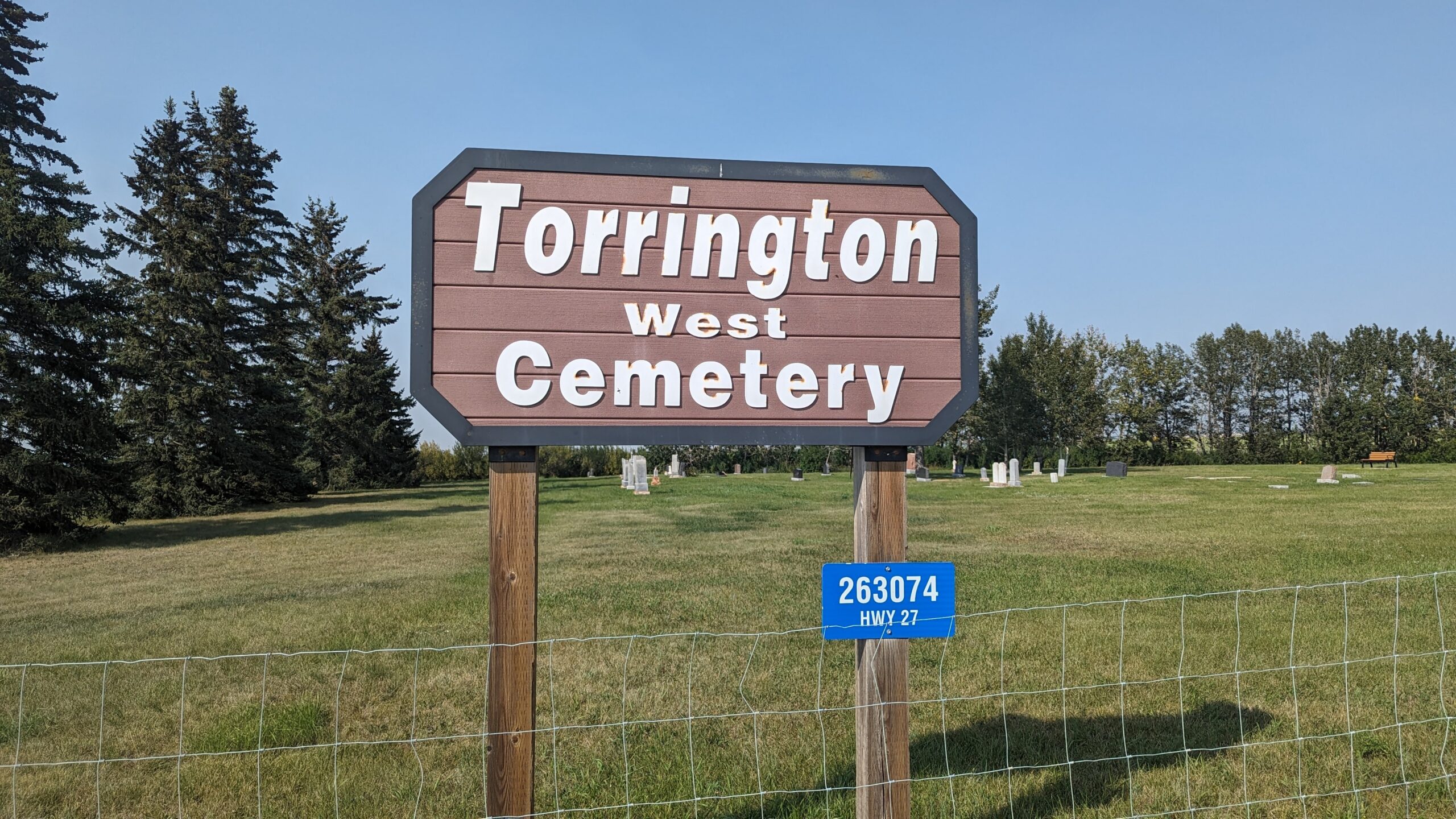
Address

263074 Hwy 27
Nearest Populated Centre: Torrington,
Province: Alberta

Map Location

Latitude, Longitude
51.79474, -113.64001

Map Location

Search for:
RESET
Surname Given Name Born Died Age Photos Cemetery R Code

The 25 most common surnames found in this cemetery.

loader

The 25 most common given names found in this cemetery.

loader

Other Cemeteries

Cleverville Cemetery (Vulcan County)

Rge Rd 240 south of Twp Rd 154 , Champion , Alberta

Glenwood Cemetery (Cardston County)

Highway 810 N of Range Road 52 , Highway 810 N of Range Road 52 , Alberta

Sharon Cemetery (Vulcan County)

26531-26501 Twp Rd 174, SW of Brant; NE corner of Rge Rd 270 & Twp Rd 174 , SW of Brant , Alberta

Coleman Union Cemetery (Crowsnest Pass)

27 Ave & 28 Ave , Coleman , Alberta

Water Valley Cemetery (Mountain View County)

Range Rd 52 & Highway 579 , Water Valley , Alberta

Hill Spring Pioneer Cemetery (Cardston County)

Township Rd 43A , Hill Spring , Alberta

Maerz Cemetery (Kneehill County)

Rge Rd 252 south of Hwy 802, west of Three Hills , Three Hills , Alberta

Indian Battle Park Cemetery (City of Lethbridge)

200 Indian Battle Road South (Riverbottom) , Lethbridge , Alberta

Poynter Memorial Cemetery (Barrhead County)

Range Road 35 N of Township Road 592 , Barrhead , Alberta

Discover Alberta Ancestors