Deaths

Longevity

Address

Highway 21N and North Road (Township Road 332A)
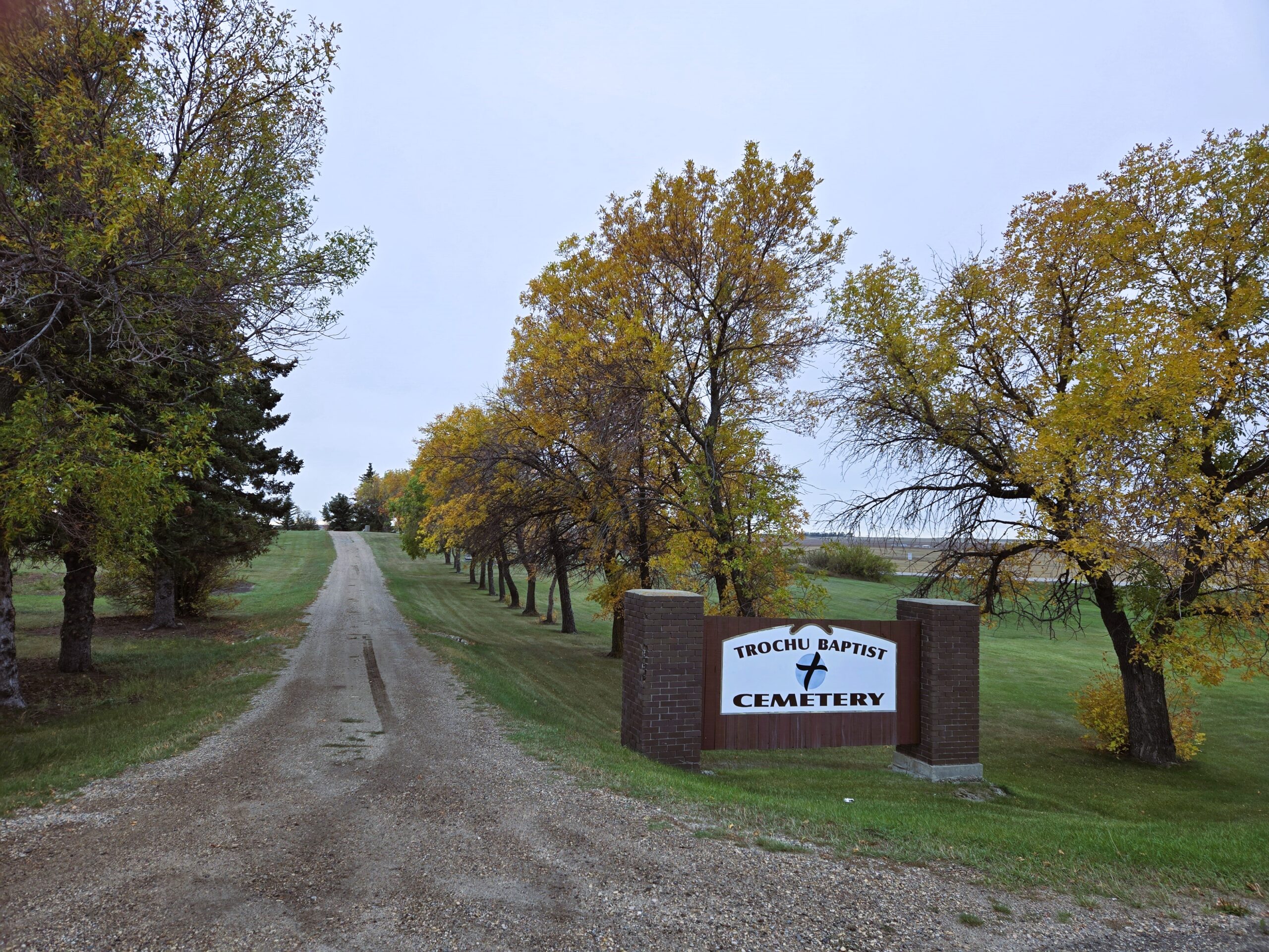
Nearest Populated Centre: Trochu,
Province: Alberta

Map Location

Latitude, Longitude
51.83023, -113.24067

Map Location

Search for:
RESET
Surname Given Name Born Died Age Photos Cemetery R Code

The 25 most common surnames found in this cemetery.

loader

The 25 most common given names found in this cemetery.

loader

Other Cemeteries

St. Mary's Cemetery (Beiseker, Rocky View County)

Township Rd 282 & Range Rd 261 , Beiseker , Alberta

Mountain View Cemetery (Banff National Park)

1029 Banff Avenue , Banff , Alberta

Berry Creek Cemetery (Special Area No. 2)

Range Road 120 N of Township Road 284 , Berry Creek , Alberta

Maerz Cemetery (Kneehill County)

Rge Rd 252 south of Hwy 802, west of Three Hills , Three Hills , Alberta

Jenner Cemetery (Special Area No. 2)

Highway 884 and Highway 555 , Jenner , Alberta

Ouelletteville Cemetery (Wheatland County)

Twp Rd 230 just west of Rge Rd 222 , Cluny , Alberta

Michichi Cemetery (Starland County)

Highway 849 S of Michichi , Michichi , Alberta

Woolford Cemetery (Cardston County)

Highway 502 S of Township Road 31A , Woolford , Alberta

Jennings (Northern) Cemetery (Special Area No. 2)

Range Road 113 N of Township Road 250 , Cessford , Alberta

Passburg Cemetery (Crowsnest Pass)

Passburg Dr , Passburg , Alberta

Discover Alberta Ancestors