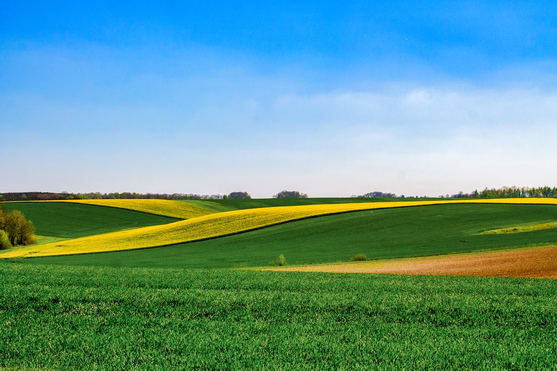
The original Congregational Church was located at this site, eight miles west and two miles south of Hilda, Alberta. We understand that three burials took place here. The virgin prairie remains untouched by the plowshare; the graves can still be seen as at May 25, 1998.

Courtesy of Medicine Hat and District Genealogical Society (MHDGS)

Deaths

Longevity

Address

Township Road 174 and Range Road 23
Nearest Populated Centre: Hilda,
Province: Alberta

Map Location

Latitude, Longitude
50.45587, -110.211593

Map Location

Search for:
RESET
Surname Given Name Born Died Age Photo(s) Cemetery Obituary Narrative R Code

The 25 most common surnames found in this cemetery.

loader

The 25 most common given names found in this cemetery.

loader

Other Cemeteries

Water Valley Cemetery (Mountain View County)

Range Rd 52 & Highway 579 , Water Valley , Alberta

Schlaht Cemetery (Cypress County)

Township Road 112 and Range Road 21 , Irvine , Alberta

Zion Lutheran Cemetery Site 2 (Cypress County)

Twp 180 and Rge Rd 24 , Hilda , Alberta

Fieger Family Cemetery (Cypress County)

Rge Rd 23 & Twp Rd 174 , Hilda , Alberta

Pakowki Cemetery (Forty Mile County)

Township Road 52 and Range Road 73 , Orion , Alberta

Bauder Family Cemetery (Cypress County)

Twp Rd 143 & Rge Rd 11 , Many Islands Lake , Alberta

Arrowwood Cemetery (Vulcan County)

Range Rd 233 just south of Twp Rd 205 , Arrowwood , Alberta

Gilby Cemetery (Lacombe County)

Range Road 33A S of Highway 12 , Gilby , Alberta

Wenz Cemetery (Cypress County)

Township Road 204 and Range Road 13 , Sandy Point , Alberta

Cravath Corners Cemetery (Wardlow, Special Area No. 2)

Range Road 513 S of Cessford , Wardlow , Alberta

Discover Alberta Ancestors