
Township Road 204 and Range Road 13
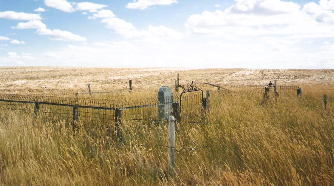
This small plot is located in eastern Alberta, just west of the Alberta/Saskatchewan border. More specifically, it is six and a half miles west and four miles north of Burstall, Saskatchewan, at the junction of Township Road 204 and Range Road 13. Township Road 204 is a prairie trail and therefore not recommended for use by small cars. The wooden fence has completely fallen down and the grass has not been cut in decades. There are only three burials here.
Courtesy of Medicine Hat and District Genealogical Society (MHDGS)
Address
Township Road 204 and Range Road 13
Nearest Populated Centre: Sandy Point,
Province: Alberta
Map Location
Latitude, Longitude
50.71752, -110.07413
Map Location
| Surname | Given Name | Born | Died | Age | Photos | Cemetery | R Code |
|---|---|---|---|---|---|---|---|
The 25 most common surnames found in this cemetery.

The 25 most common given names found in this cemetery.