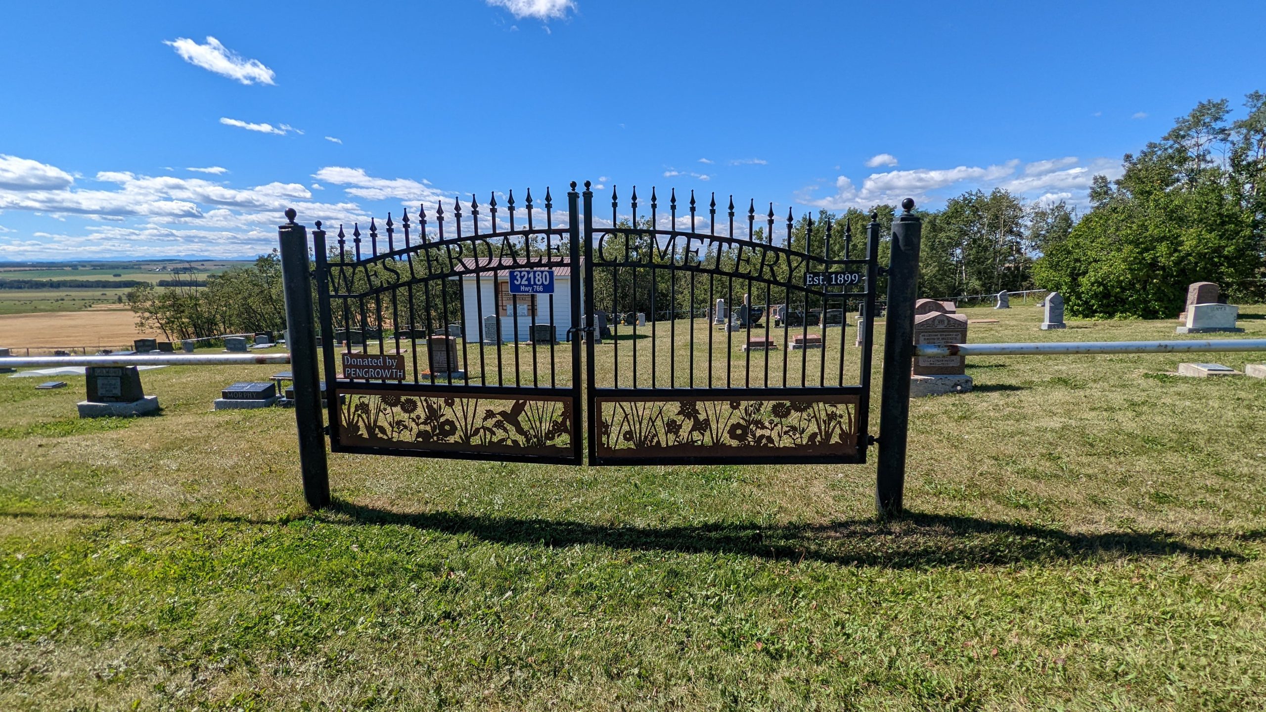
Deaths

Longevity

Address

32180 Hwy 766
Nearest Populated Centre: Westerdale,
Province: Alberta

Map Location

Latitude, Longitude
51.73649, -114.33309

Map Location

Search for:
RESET
Surname Given Name Born Died Age Photo(s) Cemetery Obituary Narrative R Code

The 25 most common surnames found in this cemetery.

loader

The 25 most common given names found in this cemetery.

loader

Other Cemeteries

Baptist Freedom Settlers Cemetery (Cypress County)

SH 515 & Range Rd 31 , Josephburg , Alberta

St. Anthony's Cemetery (Maleb, Forty Mile County)

Township Road 91 and Range Road 91 , Maleb , Alberta

Last Rest Mennonite Cemetery (Mountain View County)

28139 Twp Rd 320 , Didsbury , Alberta

Mountain View Cemetery (Banff National Park)

1029 Banff Avenue , Banff , Alberta

Cravath Corners Cemetery (Wardlow, Special Area No. 2)

Range Road 513 S of Cessford , Wardlow , Alberta

Arrowwood Cemetery (Vulcan County)

Range Rd 233 just south of Twp Rd 205 , Arrowwood , Alberta

Hilda Seventh Day Adventist Cemetery (Cypress County)

Twp Rd 182 & Rge Rd 13 , Hilda , Alberta

Pleasant View Cemetery (Forty Mile County)

8 km west of junction of Highway 501 and Range Road 63 , Manyberries , Alberta

Old Monarch Cemetery (Lethbridge County)

Range Rd 235 South of Hwy 3A , Monarch , Alberta

Hand Hills Baptist Cemetery (Special Area No. 2)

Range Road 163 and Township Road 302 , Hanna , Alberta

Discover Alberta Ancestors