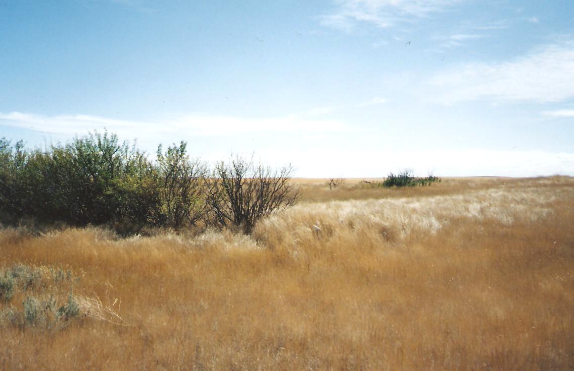
The Schuler, Alberta, history book states that Jacob Will’s mother and four of her infant grandchildren are interred in a small plot along the west side of this property. The cemetery is located on Range Road 11 and one mile north of Township Road 152. MHDGS visited the site September 08, 1996, and could not find any sign of a burial plot. There is a small grove of shrubs near the north-west corner and suspect the burials might have occurred there.

Courtesy of Medicine Hat and District Genealogical Society (MHDGS)

Deaths

Longevity

Address

Township Road 153 and Range Road 11
Nearest Populated Centre: Schuler,
Province: Alberta

Map Location

Latitude, Longitude
50.26636, -110.02818

Map Location

Search for:
RESET
Surname Given Name Born Died Age Photo(s) Cemetery Obituary Narrative R Code

The 25 most common surnames found in this cemetery.

loader

The 25 most common given names found in this cemetery.

loader

Other Cemeteries

Chinook Cemetery (Special Area No. 3)

Range Road 74 and Township Road 290 , Chinook (NW of Cereal) , Alberta

Frankburg Cemetery (Foothills County)

Range Rd 273, S of Hwy 23 , Frankburg (ghost town south of Blackie) , Alberta

Beiseker Community Cemetery (Rocky View County)

Range Rd 262, south of Township Rd 282 , Beiseker , Alberta

Kootenay Brown Cemetery (Waterton Lakes National Park)

Highway 5, Waterton Park , Waterton , Alberta

Jennings (Northern) Cemetery (Special Area No. 2)

Range Road 113 N of Township Road 250 , Cessford , Alberta

Indian Battle Park Cemetery (City of Lethbridge)

200 Indian Battle Road South (Riverbottom) , Lethbridge , Alberta

Blairmore Catholic Cemetery (Crowsnest Pass)

25th Ave , Blairmore , Alberta

Christ Lutheran Cemetery (Red Deer County)

Township Road 370 and Range Road 32 , Spruce View , Alberta

Leavitt Cemetery (Cardston County)

Range Road 265 N of Highway 5 , Leavitt , Alberta

Discover Alberta Ancestors